Stone, Gloucestershire
Stone is a small village in the parish of Ham and Stone,[1] Gloucestershire, England. The parish population taken at the 2011 census was 711.[2] It stands on the A38 road, just south-west of its crossing of the Little Avon River, roughly halfway between Bristol and Gloucester at grid reference ST684953. It is adjacent to the county boundary with South Gloucestershire. The part of the community just north-east of the river is called Woodford.
| Stone | |
|---|---|
.jpg) Cottage and Stone Church | |
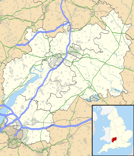 Stone Location within Gloucestershire | |
| Population | 711 (2011 Census) |
| OS grid reference | ST684953 |
| Civil parish |
|
| District | |
| Shire county | |
| Region | |
| Country | England |
| Sovereign state | United Kingdom |
| Post town | Berkeley |
| Postcode district | GL13 |
| Police | Gloucestershire |
| Fire | Gloucestershire |
| Ambulance | South Western |
| UK Parliament | |
The village of Stone has a church, a village green, a Church of England primary school and a village hall. The village also had a pub, the Berkeley Vale Hotel, but this was closed in 2013 and has been redeveloped.[3]
The village has many links with the town of Berkeley, some 2 1⁄2 miles (4 km) to the north. Also to the north lies the village of Newport.
Governance
The village is part of 'Vale' electoral ward. This ward stretches from Stone north easterly on the line of the M5 motorway to Stinchcombe. The total ward population taken at the 2011 census was 1,879.[4]
References
- "Home". www.stroud.gov.uk. Retrieved 30 September 2017.
- "Civil parish population 2011". Retrieved 31 March 2015.
- "Building work starts to turn former Berkeley Vale Hotel into housing development". Gazette Series. Retrieved 30 September 2017.
- "Ward population 2011". Retrieved 31 March 2015.
External links
| Wikimedia Commons has media related to Stone, Gloucestershire. |
- HamAndStone.com – Village web site