Ste.-Thérèse Creek
Ste-Thérèse Creek is a river in Cochrane District in Northeastern Ontario, Canada.[1] It is in the James Bay drainage basin and is a tributary of Lac Ste-Thérèse (lake).
| Ste-Thérèse Creek | |
|---|---|
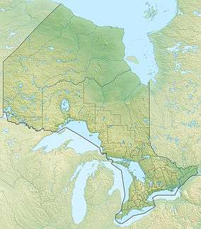 Location of the mouth of Ste-Thérèse Creek in Ontario | |
| Location | |
| Country | Canada |
| Province | Ontario |
| Region | Northeastern Ontario |
| District | Cochrane |
| Physical characteristics | |
| Source | Unnamed marsh |
| ⁃ location | Hanlan Township |
| ⁃ coordinates | 49°43′00″N 83°43′35″W |
| ⁃ elevation | 250 m (820 ft) |
| Mouth | Lac Ste-Thérèse |
⁃ location | Casgrain Township |
⁃ coordinates | 49°47′42″N 83°39′15″W |
⁃ elevation | 236 m (774 ft) |
| Basin features | |
| River system | James Bay drainage basin |
The creek begins at an unnamed marsh in geographic Hanlan Township[2] and heads northeast, passing into geographic Casgrain Township.[3] The creek heads north, looping east then back west under Ontario Highway 583, and reaches its mouth at Lac Ste-Thérèse at the community of Lac-Sainte-Thérèse. Lac Ste.-Thérèse drains via the Pivabiska Narrows, Lac Pivabiska, the Pivabiska River, the Missinaibi River and the Moose River to James Bay.
References
- "Ste-Thérèse Creek". Geographical Names Data Base. Natural Resources Canada. Retrieved 2014-08-29.
- "Hanlan" (PDF). Geology Ontario - Historic Claim Maps. Ontario Ministry of Northern Development, Mines and Forestry. Archived from the original (PDF) on 2014-09-03. Retrieved 2014-08-29.
- "Casgrain" (PDF). Geology Ontario - Historic Claim Maps. Ontario Ministry of Northern Development, Mines and Forestry. Archived from the original (PDF) on 2014-09-03. Retrieved 2014-08-29.
Sources
- Map 14 (PDF) (Map). 1 : 1,600,000. Official road map of Ontario. Ministry of Transportation of Ontario. 2010-01-01. Retrieved 2014-08-29.
- Restructured municipalities - Ontario map #3 (Map). Restructuring Maps of Ontario. Ontario Ministry of Municipal Affairs and Housing. 2006. Retrieved 2014-08-29.
This article is issued from Wikipedia. The text is licensed under Creative Commons - Attribution - Sharealike. Additional terms may apply for the media files.