Spanish Springs Airport
Spanish Springs Airport (FAA LID: N86) is a public use airport located 7 nautical miles (8.1 mi; 13 km) north of the central business district of Reno, in Washoe County, Nevada, United States.[1] It is owned by the U.S. Bureau of Land Management[1] and operated by the Spanish Springs Pilots Association, Inc. under BLM Public Airport Lease N-59805.
Spanish Springs Airport | |||||||||||
|---|---|---|---|---|---|---|---|---|---|---|---|
| Summary | |||||||||||
| Airport type | Public | ||||||||||
| Owner | Bureau of Land Management | ||||||||||
| Operator | Spanish Springs Pilots Association | ||||||||||
| Serves | Reno, Nevada | ||||||||||
| Elevation AMSL | 4,600 ft / 1,402 m | ||||||||||
| Coordinates | 39°39′59″N 119°43′24″W | ||||||||||
| Map | |||||||||||
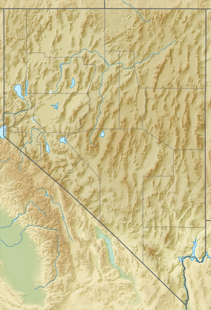 N86 Location of airport in Nevada | |||||||||||
| Runways | |||||||||||
| |||||||||||
| Statistics (2010) | |||||||||||
| |||||||||||
Facilities and aircraft
Spanish Springs Airport covers an area of 35 acres (14 ha) at an elevation of 4,600 feet (1,400 m) above mean sea level. It has one runway designated 16/34 with a dirt surface measuring 3,540 by 71 feet (1,079 by 22 m).[1]
For the 12-month period ending November 30, 2010, the airport had 4,650 aircraft operations, an average of 12 per day: 99% general aviation and 1% military. At that time there were 13 aircraft based at this airport, all single-engine.[1]
See also
References
- FAA Airport Master Record for N86 (Form 5010 PDF). Federal Aviation Administration. Effective November 15, 2012.
External links
- "Diagram of Spanish Springs Airport (N86)" (PDF). Archived from the original (PDF) on 2016-03-04. from Nevada DOT
- Aerial image as of September 1999 from USGS The National Map
- Resources for this airport:
- FAA airport information for N86
- AirNav airport information for N86
- FlightAware airport information and live flight tracker
- SkyVector aeronautical chart for N86