Spåtind
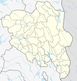
Spåtind is a mountain in the middle between Lillehammer and Fagernes. The summit lies on the border between the municipalities Nordre Land and Etnedal, both in the county of Innlandet. Spåtind is the highest mountain in the mountain area Synnfjell.
| Spåtind | |
|---|---|
 Spåtind  Spåtind Spåtind (Norway) | |
| Highest point | |
| Elevation | 1,414 m (4,639 ft) |
| Prominence | 470 m (1,540 ft) [1] |
| Isolation | 33.5 to 33.7 km (20.8 to 20.9 mi) |
| Coordinates | 61°04′37″N 9°47′22″E |
| Geography | |
| Location | Nordre Land and Etnedal, Innlandet, Norway |
| Topo map | 1717 II Synnfjell |
There are numerous cabins situated around the mountain, the largest cluster being Hugulia on the southern side. On the western side there is a facility for alpine skiing and a hotel.
The name
The first element is the verb spå ('predict; see into the future), but here in the old sense 'to scout' (related to German spähen, Latin specio and English spy). The last element is tind 'mountain peak'. The peak is visible from long distances over a large region.
See also Hårteigen.
References
This article is issued from Wikipedia. The text is licensed under Creative Commons - Attribution - Sharealike. Additional terms may apply for the media files.