Sommet de la Saulire
Sommet de la Saulire is a mountain of Savoie, France. It lies in the Massif de la Vanoise range. It has an elevation of 2,738 metres above sea level. In the winter, it is used for skiing, and is located between the two towns, Courchevel and Meribel. These two towns are towns in the three valleys, which is a popular ski resort in the French alps. The mountain has slopes that go to Courchevel, and slopes that go to Meribel.
| Sommet de la Saulire | |
|---|---|
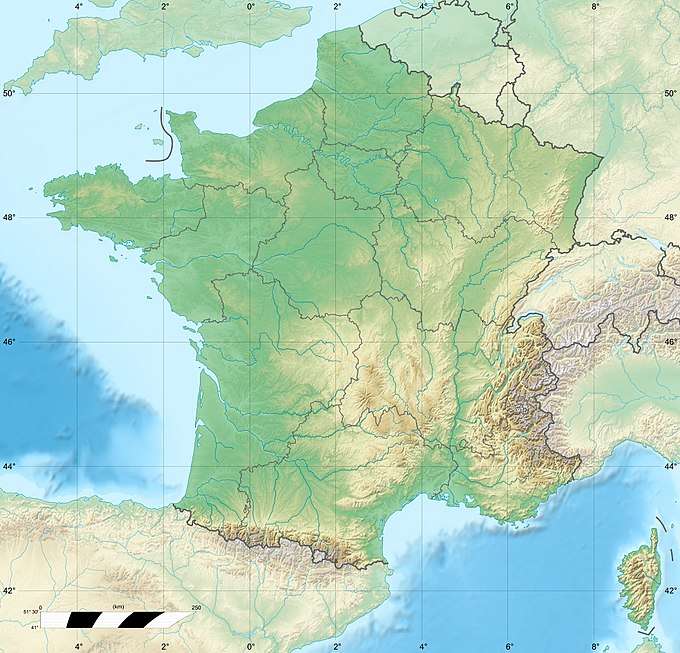 Sommet de la Saulire Location in France | |
| Highest point | |
| Elevation | 2,738 m (8,983 ft) |
| Coordinates | 45°23′00″N 06°36′38″E |
| Geography | |
| Location | Savoie, France |
| Parent range | Vanoise Massif |
This article is issued from Wikipedia. The text is licensed under Creative Commons - Attribution - Sharealike. Additional terms may apply for the media files.