Smyley Island
Smyley Island is an Antarctic island lying off the Antarctic Peninsula at coordinates 72°55′S 78°0′W. The island is 38 mi (61 km) long and from 8 to 21 mi (13 to 34 km) wide, and it lies about 20 km (12 mi) north of Case Island. Smyley Island connects to the Stange Ice Shelf and is separated from Alexander Island by the Ronne Entrance. Smyley Island is one of the 27 islands in Palmer Land, Antarctica.[1]
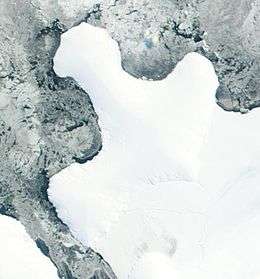 | |
 Smyley Island Location in Antarctica | |
| Geography | |
|---|---|
| Location | Antarctica |
| Coordinates | 72°55′S 78°0′W |
| Administration | |
| Administered under the Antarctic Treaty System | |
| Demographics | |
| Population | Uninhabited |
In 1939–1941 the island was initially identified as a peninsula of mainland Antarctica by the United States Antarctic Service and was named Cape Smyley. In 1968 it was identified as an island on a U.S. Geological Survey map.[1]
Smyley Island is named after Captain William H. Smyley, the American master of the sealing vessel Ohio during 1841–42.[1]
See also
- Composite Antarctic Gazetteer
- List of Antarctic and sub-Antarctic islands
- List of Antarctic islands south of 60° S
- SCAR
- Territorial claims in Antarctica
References
- "Smyley Island". Geographic Names Information System. US Geological Survey. Retrieved 18 July 2018.
External links
![]()