Smogornia
Smogornia (Czech Stříbrný hřbet, German Mittagsberg, 1469 m a.s.l.)[1] - peak in the Karkonosze Mountains on Polish and Czech border. It is situated in the eastern part of the main range. The peak is not accessible; the main Sudetes trail and Polish - Czech Friendship Trail traverses the mountain ca 300 m north from the peak. On the northern slope of the mountain there is a glacial cirque. The mountain has mild slopes, mostly deforested, covered in mountain pine.[2]
| Smogornia | |
|---|---|
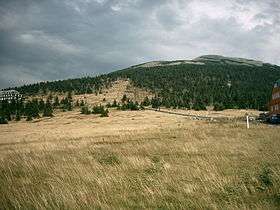 Przełęcz Karkonoska, Mały Szyszak and Smogornia in the background | |
| Highest point | |
| Elevation | 1,489 m (4,885 ft) |
| Coordinates | 50°46′17″N 15°41′0″E |
| Geography | |
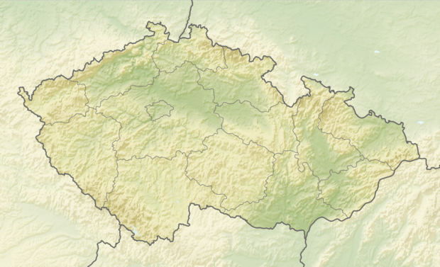 Smogornia Location in Czech Republic, on the border with Poland | |
| Location | Czech-Polish border |
| Parent range | Giant Mountains |
| Climbing | |
| Easiest route | public path marked red from Przełęcz Karkonoska |
References
- Karkonosze [retrieved 2009-12-26]
- Dlaczego tak pięknie? [retrieved 2009-12-26]
This article is issued from Wikipedia. The text is licensed under Creative Commons - Attribution - Sharealike. Additional terms may apply for the media files.