Sikuijivitteq
Sikuijivitteq (Danish: Mogens Heinesen Fjord),[1] also known as Kangerdlugsuatsiak, is a fjord of the King Frederick VI Coast in the Sermersooq municipality, southeastern Greenland.[2] The name 'Mogens Heinesen' is based on Magnus Heinason, a 16th-century Faroese naval hero.
| Sikuijivitteq | |
|---|---|
| Mogens Heinesen Fjord Kangerdlugsuatsiak | |
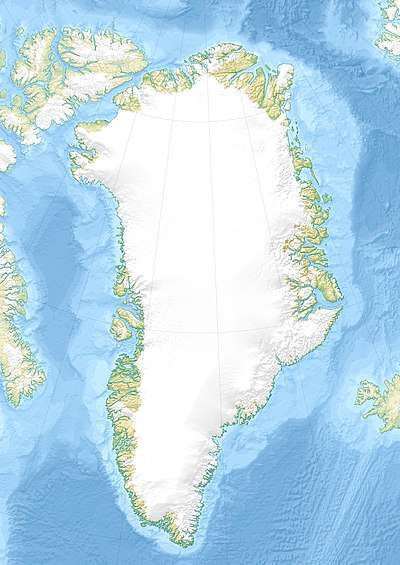 Sikuijivitteq Location in Greenland | |
| Location | Arctic (SE Greenland) |
| Coordinates | 62°24′N 42°37′W |
| Ocean/sea sources | North Atlantic Ocean |
| Basin countries | Greenland |
| Max. length | 45 km (28 mi) |
| Max. width | 4.7 km (2.9 mi) |
Geography
Sikuijivitteq is located south of Timmiarmiut Fjord (Timmiarmiit Kangertivat); to the east it opens into the North Atlantic Ocean.[3] Ikermiit Island is located off the fjord's mouth.[4]
Mountains
There are high mountains rising on both sides of the fjord, becoming especially craggy towards the inner side. One of the most impressive is a dark pyramidal peak in the nunatak at the head of the fjord rising steeply to a height of 1,884 m (6,181 ft) on the southern side above the glacier at 62°30′57″N 43°20′44″W.
6 km to the east in the same nunatak there is a steep mountain with multiple peaks rising to a height of 1,894 m (6,214 ft) at 62°31′20″N 43°13′5″W and at the eastern end there is a massive summit rising to a height of 1,945 m (6,381 ft) above the confluence of the glaciers at 62°31′18″N 43°7′2″W, but the highest is a 2,069 m (6,788 ft) glacier-topped mountain located to the west at 62°32′37″N 43°23′33″W.[2]

See also
References
- Den grønlandske Lods - Geodatastyrelsen
- GoogleEarth
- "Mogens Heinesen Fjord". Mapcarta. Retrieved 10 June 2016.
- Prostar Sailing Directions 2005 Greenland and Iceland Enroute, p. 101
External links
- Greenland Pilot - Danish Geodata Agency
- Field relationship of high-grade Neo- to Mesoarchaean rocks of South-East Greenland: Tectonometamorphic and magmatic evolution