Sidown Hill
At 255 metres (837 ft), Sidown Hill is the third highest hill in the county of Hampshire, England.
| Sidown Hill | |
|---|---|
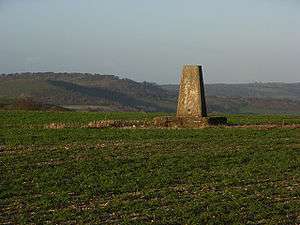 View from Watership Down across to the wooded Sidown Hill, just beyond Beacon Hill. | |
| Highest point | |
| Elevation | 266 m (873 ft) [1] |
| Prominence | 34 m (112 ft) [1] |
| Parent peak | Walbury Hill [1] |
| Coordinates | 51.3144°N 1.36143°W |
| Geography | |
| Location | Highclere, Hampshire, England |
| Parent range | North Hampshire Downs |
| OS grid | SU444573 |
| Topo map | OS Landranger |
At the summit is a mid-18th century Grade II listed building known as Heaven's Gate which is hidden by the trees covering the top of the hill.[2]
The hill is on the watershed of the Hampshire Basin and forms part of the Hampshire Downs. [3] To the east is Beacon Hill (261 metres (856 ft)).
On 5th May 1945 a USAAF B-17 Flying Fortress of 326th Bombardment Squadron crashed on Sidown Hill with the loss of six of its crew of seven. [4]
References
- Summit Listings by Relative Height by Jonathan de Ferranti. Accessed on 2 Apr 2013.
- Heaven's Gate, Highclere at www.britishlistedbuildings.co.uk. Accessed on 2 Apr 2013.
- Varley, Telford (1922). Hampshire, Cambridge County Geographies, Cambridge University Press, Cambridge, 2013 paperback edition, pp. 24/25. ISBN 978-1-107-62028-5.
- https://www.bbc.co.uk/news/uk-england-hampshire-45989943 Accessed on 2 Dec 2018
This article is issued from Wikipedia. The text is licensed under Creative Commons - Attribution - Sharealike. Additional terms may apply for the media files.