Schlicker Seespitze
The Schlicker Seespitze, at 2,804 m (AA), is the highest peak in the Kalkkögel range in Austria's Stubai Alps, as well as the southwestern cornerstone of the chain. This mountain, known for being extremely prone to landslides, is a good observation point. It is located near the village of Schlick.
| Schlicker Seespitze | |
|---|---|
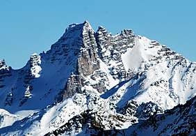 The Schlicker Seespitze from the west | |
| Highest point | |
| Elevation | 2,804 m (AA) (9,199 ft) |
| Prominence | 2,804-2,477 m ↓ Sendersjöchl |
| Isolation | 3.6 km → Schwarzhorn |
| Coordinates | 47°08′44″N 11°16′24″E |
| Geography | |
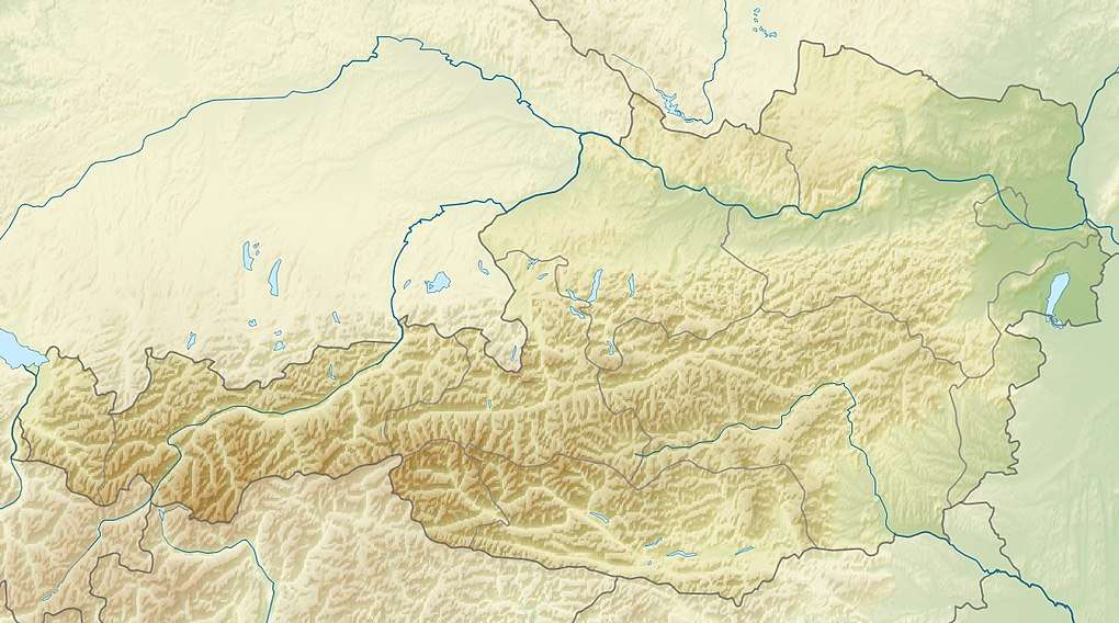 Schlicker Seespitze Tyrol, Austria | |
| Parent range | Kalkkögel, Stubai Alps |
| Geology | |
| Age of rock | Norian |
| Type of rock | main dolomite |
| Climbing | |
| First ascent | 13 July 1879 by Carl Gsaller |
| Normal route | West flank (grade I) |
From Schlick, the mountain appears like a deeply clefted rock massif with a huge southern arête crowned by the rock pinnacles of the Schlicker Manndln. From the other side it resembles a crumbling, gashed peak rising above its scree slopes. The isolated Seejoch tower soars prominently over the Seejöchl saddle.
Ascents
From Seejöchl (reached from the Adolf Pichler Hut or from Schlick) a well-marked grade I climb runs through boulder terrain up to the Seespitzscharte col between the Seespitze and Riepenwand, along the north arête and over it briefly to the summit. Climbers should beware of rockfalls to which they are exposed for the entire route.
In addition, there are several Alpine climbing routes of up to grade VII+, of which some were opened by well known Alpinists like Ludwig Purtscheller, Andreas Orgler and Mathias Rebitsch. The crossing from the Schlicker Manndl is popular; this grade IV route runs from the Schlicker Schartl up to the top.
Literature
- Klier, Walter (2006), Alpenvereinsführer Stubaier Alpen alpin (in German) (13th ed.), Munich: Bergverlag Rudolf Rother, p. 446, ISBN 3-7633-1271-4
External links
