Satun
Satun (Thai: สตูล, pronounced [sā.tūːn], Malay: Setul) is a town (thesaban mueang) in southern Thailand, capital of the Satun Province. It covers the whole tambon Phiman of Mueang Satun. Satun lies 985 km south of Bangkok. As of 2005 it has a population of 21,498.
Satun สตูล | |
|---|---|
| เทศบาลเมืองสตูล | |
 Satun National Museum | |
 Seal | |
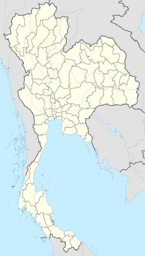 Satun Location in Thailand | |
| Coordinates: 6°36′53″N 100°4′5″E | |
| Country | Thailand |
| Province | Satun |
| District | Mueang Satun |
| Government | |
| • Mayor | Prasit Baesakul |
| Population (2005) | |
| • Total | 21,498 |
| Time zone | UTC+7 (ICT) |
| Area code | (+66) 74 |
| Website | stm |
Climate
| Climate data for Satun (1981–2010) | |||||||||||||
|---|---|---|---|---|---|---|---|---|---|---|---|---|---|
| Month | Jan | Feb | Mar | Apr | May | Jun | Jul | Aug | Sep | Oct | Nov | Dec | Year |
| Record high °C (°F) | 36.4 (97.5) |
37.5 (99.5) |
39.5 (103.1) |
38.9 (102.0) |
37.8 (100.0) |
36.8 (98.2) |
35.2 (95.4) |
35.9 (96.6) |
34.4 (93.9) |
34.9 (94.8) |
35.0 (95.0) |
35.1 (95.2) |
39.5 (103.1) |
| Average high °C (°F) | 32.7 (90.9) |
34.2 (93.6) |
34.7 (94.5) |
34.1 (93.4) |
33.0 (91.4) |
32.4 (90.3) |
32.0 (89.6) |
31.8 (89.2) |
31.4 (88.5) |
31.5 (88.7) |
31.6 (88.9) |
31.5 (88.7) |
32.6 (90.7) |
| Daily mean °C (°F) | 27.5 (81.5) |
28.1 (82.6) |
28.4 (83.1) |
28.4 (83.1) |
28.1 (82.6) |
27.8 (82.0) |
27.4 (81.3) |
27.4 (81.3) |
26.9 (80.4) |
26.8 (80.2) |
26.9 (80.4) |
27.0 (80.6) |
27.6 (81.7) |
| Average low °C (°F) | 23.4 (74.1) |
23.1 (73.6) |
23.6 (74.5) |
24.1 (75.4) |
24.5 (76.1) |
24.1 (75.4) |
23.8 (74.8) |
23.8 (74.8) |
23.6 (74.5) |
23.6 (74.5) |
23.5 (74.3) |
23.4 (74.1) |
23.7 (74.7) |
| Record low °C (°F) | 17.6 (63.7) |
17.0 (62.6) |
18.0 (64.4) |
19.2 (66.6) |
20.8 (69.4) |
20.5 (68.9) |
21.0 (69.8) |
19.2 (66.6) |
20.1 (68.2) |
20.0 (68.0) |
19.4 (66.9) |
18.0 (64.4) |
17.0 (62.6) |
| Average rainfall mm (inches) | 21.2 (0.83) |
45.8 (1.80) |
122.0 (4.80) |
206.0 (8.11) |
233.3 (9.19) |
183.5 (7.22) |
230.6 (9.08) |
259.3 (10.21) |
328.4 (12.93) |
339.0 (13.35) |
223.9 (8.81) |
96.9 (3.81) |
2,289.9 (90.15) |
| Average rainy days | 3.7 | 4.4 | 10.4 | 15.6 | 17.1 | 15.3 | 16.7 | 17.9 | 21.4 | 23.6 | 18.9 | 11.3 | 176.3 |
| Average relative humidity (%) | 70 | 69 | 73 | 79 | 82 | 82 | 82 | 83 | 84 | 85 | 82 | 76 | 79 |
| Mean monthly sunshine hours | 198.4 | 183.6 | 186.0 | 183.0 | 151.9 | 147.0 | 151.9 | 151.9 | 108.0 | 111.6 | 141.0 | 182.9 | 1,897.2 |
| Mean daily sunshine hours | 6.4 | 6.5 | 6.0 | 6.1 | 4.9 | 4.9 | 4.9 | 4.9 | 3.6 | 3.6 | 4.7 | 5.9 | 5.2 |
| Source 1: Thai Meteorological Department[1] | |||||||||||||
| Source 2: Office of Water Management and Hydrology, Royal Irrigation Department (sun and humidity)[2] | |||||||||||||
Transportation
Satun is connected to Malaysian Langkawi Island by direct ferry service.
Telecommunication
Satun hosts Thailand's landing points for optical fiber submarine communications cable Segment FEA (FLAG Europe Asia) of the 28,000-kilometer-long FLAG (Fiber-Optic Link Around the Globe); and for the 49,000-kilometer-long SEA-ME-WE 3, which links regions of south-east Asia to regions of the Middle East and Western Europe.
References
- "Climatological Data for the Period 1981–2010". Thai Meteorological Department. p. 29. Retrieved 8 August 2016.
- "ปริมาณการใช้น้ำของพืชอ้างอิงโดยวิธีของ Penman Monteith (Reference Crop Evapotranspiration by Penman Monteith)" (PDF) (in Thai). Office of Water Management and Hydrology, Royal Irrigation Department. p. 125. Retrieved 8 August 2016.
This article is issued from Wikipedia. The text is licensed under Creative Commons - Attribution - Sharealike. Additional terms may apply for the media files.