Satopanth
Mount Satopanth (7075m) is one of the prominent peaks of the Garhwal range of Himalayas that politically fall in the Indian subcontinent and the also the second highest peak in Gangotri National Park. The nomenclature of the peak is derived by an amalgamation of two Sanskrit words “Sato” meaning ‘Truth’ and “Panth” meaning “A Figure of veneration or Devotion” when combined means {The True Figure of Devotion and Veneration}. The mountain was first climbed successfully by a Swiss expedition in 1947, 15 days prior to the Indian independence, the team was led by Andre Roch. Lately the mountain has become quite famous for its pre-Everest expeditions, because of her majestic altitude, the daunting ‘knife ridge’ at 6500m and the technical ice and rock glacial negotiations at 5900 m. Satopanth is a mountain in the Gangotri region of the Garhwal Himalaya, in the Indian Himalayas. It lies in the northern Indian state of Uttarakhand.
| Satopanth | |
|---|---|
 Mt Satopanth during Wikipedia treks Kalindi Khal | |
| Highest point | |
| Elevation | 7,075 m (23,212 ft) |
| Prominence | 1,070 m (3,510 ft) |
| Listing | List of mountains in India |
| Coordinates | 30°50′28″N 79°12′49″E |
| Geography | |
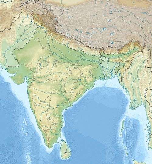 Satopanth India | |
| Location | Gangtori, India |
| Parent range | Garhwal Himalaya |
| Climbing | |
| First ascent | André Roch, René Ditterit, Alexander Graven and Alfred Sutter - 1947 |
| Easiest route | AD Grade snow/ice climb |
Colin Kirkus climbed Satopant'h with Charles Warren in 1933 while a member of Marco Pallis's expedition; his account of the climb is included in Pallis's book Peaks and Lamas.[1]
The mountain was climbed in 1947 by a Swiss expedition. The summit was reached by André Roch, René Ditterit, Alexander Graven and Alfred Sutter on 1 August.[2]
References
- Pallis, Marco (1939) Peaks and Lamas. London: Cassell
- "THE SWISS GARHWAL EXPEDITION OF 1947 : Himalayan Journal vol.15/3". Himalayanclub.org. Retrieved 12 April 2018.