Santa Rita District, Nandayure
Santa Rita District is a district and town in the canton of Nandayure, Guanacaste Province in Costa Rica.[1]
Santa Rita | |
|---|---|
District and village | |
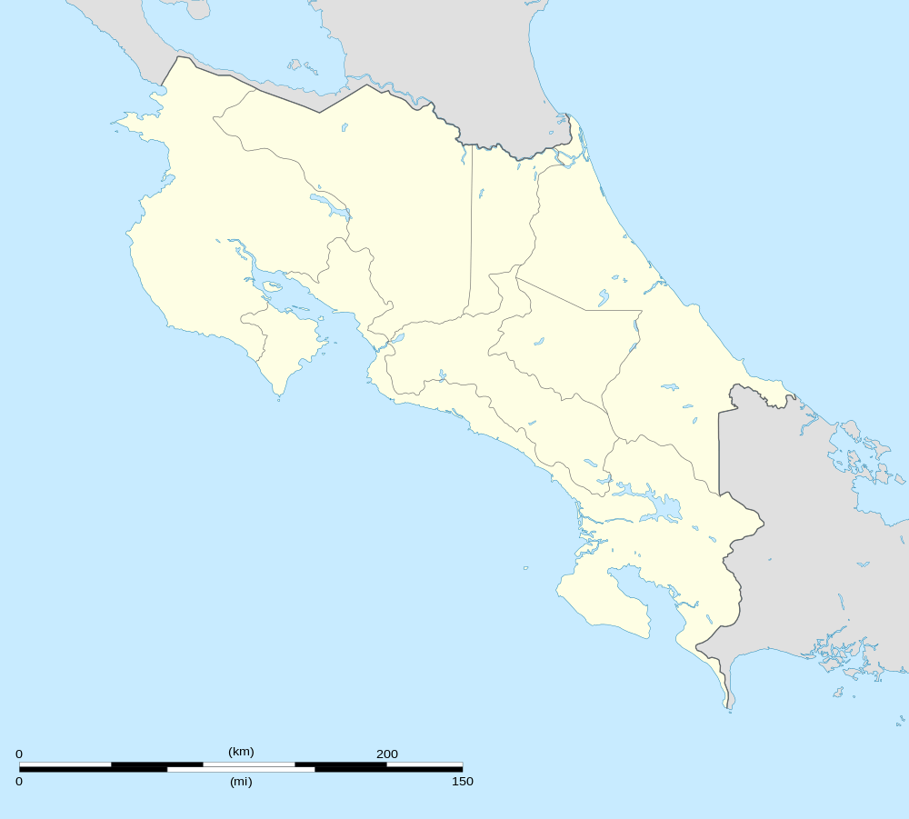 Santa Rita Location in Costa Rica | |
| Coordinates: 10°01′39″N 85°15′17″W | |
| Country | Costa Rica |
| Province | Guanacaste |
| Canton | Nandayure |
| Area | |
| • Total | 50.09 km2 (19.34 sq mi) |
| Elevation | 52 m (171 ft) |
| Population (June 2013) | |
| • Total | 1,438 |
| • Density | 29/km2 (74/sq mi) |
| Postal code | 50902 |
Located on the Nicoya Peninsula, the district has a population of around 1,500 people.[2]
Villages
Administrative center of the district is the village of Santa Rita.
Other villages in the district are Angostura, Cacao, Chumico, Guaria, Guastomatal, Morote, Tacanis, Uvita (partly), Hierbabuena (partly). [1]
References
- "Carmona". Retrieved 2015-03-28.
- Estadísticas Vitales 2013 Archived 2015-04-02 at the Wayback Machine - INEC
This article is issued from Wikipedia. The text is licensed under Creative Commons - Attribution - Sharealike. Additional terms may apply for the media files.