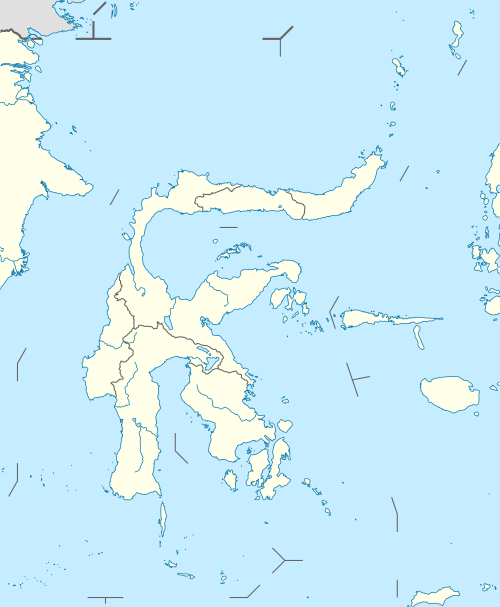
Sangir Island
Sangir Besar, commonly called Sangir Island (with the spelling variants "Sangihe", "Sanghir" or "Sangi"), is an island in the Sangir Islands group.[1] Its Indonesian name literally means "Great Sangir", in reference to the fact that it is the archipelago's main island. It is part of the North Sulawesi province. The main language is the Sangir language.
 Sangir | |
| Geography | |
|---|---|
| Location | South East Asia |
| Coordinates | 3°35′N 125°30′E |
| Archipelago | Sangir Islands |
| Administration | |
Indonesia | |
| Province | North Sulawesi |
It was the scene of the violent eruption of Gunung Awu volcano in 2 March, 1856.[2] The existing mountain was reshaped by the eruption, and flooding was extensive. The death toll was estimated to exceed two thousand, possibly as high as 6,000. Other major eruptions occurred in 1966 and 2004.
The critically endangered cerulean paradise flycatcher and sangihe shrike-thrush are endemic to Sangir Island.
References
- Jan Sihar Aritonang & Karel Adriaan Steenbrink, ed. (2008). A History of Christianity in Indonesia. BRILL. p. 448. ISBN 90-041-7026-X.
- P.R. Cummins & I. Meilano, ed. (2007). Geohazards in Indonesia: Earth Science for Disaster Risk Reduction. Geological Society of London. p. 40. ISBN 18-623-9966-2.