San Gallán Island
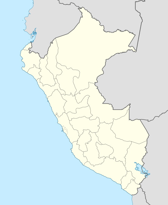
San Gallán Island, also known as Sangayán Island, is a Peruvian island located in the Pacific Ocean, 5,2 km west off Paracas Peninsula, separated from it by El Boquerón strait.[1] The island lies within Paracas District, Pisco Province, region of Ica; and is also part of Paracas National Reserve.
| Isla San Gallán (Spanish) | |
|---|---|
 San Gallán Island | |
| Geography | |
| Location | Pacific Ocean |
| Coordinates | 13°50′20″S 76°27′01″W |
| Area | 9.32 km2 (3.60 sq mi) |
| Administration | |
| Region | Ica |
| Additional information | |
| Time zone |
|
Geography
San Gallán Island has an area of 9,32 km² (4,5 km long, 3,85 km wide) and is located at 13º 50’ S, 76º 27’ W in the Pacific Ocean.[2] At 0,5 km northwest of the island, the Mentiroso Islets can be seen.[1] The main elevation of the island is located at La Viuda Hill (412 m).[3]
The island's arid climate is influenced by the presence of the cold waters of the Humboldt Current.[1] The island has a lighthouse with a light that can be seen from 20 miles.[1]
References
- National Geospatial-intelligence Agency (2004). ProStar Publications (ed.). Prostar Sailing Directions 2004 West Coast of South America Enroute (8.ª ed.). p. 219. ISBN 1-57785-551-5.
- "INEI - 1.9 PRINCIPALES ISLAS CON INDICACION DE SU SUPERFICIE, UBICACION GEOGRAFICA Y POLITICA". 2011-11-16. Archived from the original on 2011-11-16. Retrieved 2017-12-02.CS1 maint: BOT: original-url status unknown (link)
- Instituto Geográfico Nacional del Perú (IGN). Carta Nacional 1:100000. Hoja 28-k (1643). Serie J631. Edición 2-IGN.