Salem Memorial Airport
Salem Memorial Airport (FAA LID: K33) is a city-owned, public-use airport located four nautical miles (5 mi, 7 km) southwest of the central business district of Salem, a city in Dent County, Missouri, United States.[1] It is included in the National Plan of Integrated Airport Systems for 2011–2015, which categorized it as a general aviation facility.[2]
Salem Memorial Airport | |||||||||||
|---|---|---|---|---|---|---|---|---|---|---|---|
| Summary | |||||||||||
| Airport type | Public | ||||||||||
| Owner | City of Salem | ||||||||||
| Serves | Salem, Missouri | ||||||||||
| Elevation AMSL | 1,241 ft / 378 m | ||||||||||
| Coordinates | 37°36′55″N 091°36′16″W | ||||||||||
| Map | |||||||||||
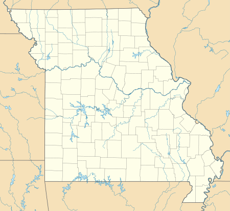 K33 Location of airport in Missouri | |||||||||||
| Runways | |||||||||||
| |||||||||||
| Statistics (2012) | |||||||||||
| |||||||||||
Facilities and aircraft
Salem Memorial Airport covers an area of 86 acres (35 ha) at an elevation of 1,241 feet (378 m) above mean sea level. It has one runway designated 17/35 with an asphalt surface measuring 2,998 by 60 feet (914 x 18 m).[1]
For the 12-month period ending December 31, 2012, the airport had 4,550 aircraft operations, an average of 12 per day: 99% general aviation and 1% military. At that time there were nine aircraft based at this airport: 44% single-engine, 33% helicopter, and 22% multi-engine.[1]
References
- FAA Airport Master Record for K33 (Form 5010 PDF). Federal Aviation Administration. Effective November 15, 2012.
-
"2011–2015 NPIAS Report, Appendix A" (PDF, 2.03 MB). National Plan of Integrated Airport Systems. Federal Aviation Administration. October 4, 2010. External link in
|work=(help)
External links
- Airport page at City of Salem website
- Salem Memorial (K33) at Missouri DOT Airport Directory
- Aerial image as of February 1995 from USGS The National Map
- FAA Terminal Procedures for K33, effective April 23, 2020
- Resources for this airport:
- FAA airport information for K33
- AirNav airport information for K33
- FlightAware airport information and live flight tracker
- SkyVector aeronautical chart for K33