Ruacana
Ruacana is a town in Omusati Region, northern Namibia and the district capital of the Ruacana electoral constituency. It is located on the border with Angola on the river Kunene. The town is known for the picturesque Ruacana Falls nearby, and for the Ruacana Power Station.
Ruacana | |
|---|---|
Town | |
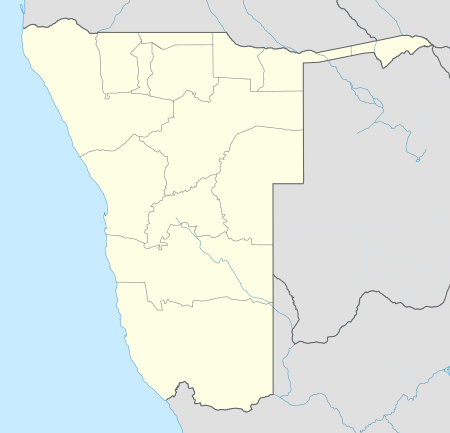 Ruacana Location in Namibia | |
| Coordinates: 17°25′20″S 14°18′7″E | |
| Country | |
| Region | Omusati Region |
| Constituency | Ruacana Constituency |
| Government | |
| • Major | Simon Shooya |
| Population (2011)[1] | |
| • Total | 2,985 |
| Time zone | UTC+2 (SAST) |
| Climate | BSh |
Ruacana was developed around a major underground hydroelectric plant linked to the nearby dam across the border in Angola at Calueque. The dam and pumping station were bombed in a Cuban airstrike in 1988, during the Angolan Civil War. The facility was partially repaired and today NamPower operates three turbines producing a maximum of 240 megawatts.[2]
OvaZemba and OvaHimba people are native to the area. The name Ruacana originated from one of the first settlers in Ruacana called Ruhakana. The town was therefore named after Mr. Ruhakana although it is currently written as Ruacana.[3]
Ruacana's settlement status was upgraded to that of a village in 2005, and to town in 2010.[4] It is now governed by a town council that has seven seats.[5] The 2015 local authority election was won by SWAPO which gained six seats and 826 votes. The remaining seat went to the National Unity Democratic Organisation (NUDO) which gained 53 votes.[6]
The place normally receives an annual average rainfall of 426 millimetres (16.8 in), although in the 2010/2011 rainy season 960 millimetres (38 in) were measured.[7]
The 600 hectares (1,500 acres) farm Etunda is situated near Ruacana. It is run as a government supported irrigation scheme and has been established in 1993. Half of the farm is commercial irrigation land, the other half is allocated to 82 small-scale farmers. Etunda cultivates maize, wheat, watermelons, bananas, and other produce.[8]
Education
Ruacana Vocitional High School is located in Ruacana[9]. The are several other primary schools and secondary school such as Ombuumbu Secondary School, Tjihozu Primary School.
References
- "Table 4.2.2 Urban population by Census years (2001 and 2011)" (PDF). Namibia 2011 - Population and Housing Census Main Report. Namibia Statistics Agency. p. 39. Retrieved 24 August 2016.
- Smit, Nico (16 March 2011). "Ruacana power plant running at full throttle". The Namibian.
- Alexactus T Kaure (25 November 2011): "To Recognise or Not: Ovazemba Quest For A Chief", The Namibian, page 1
- Shaanika, Helvy (7 September 2011). "Ruacana unveils new road, hall". New Era. via allafrica.com.
- "Know Your Local Authority". Election Watch (3). Institute for Public Policy Research. 2015. p. 4.
- "Local elections results". Electoral Commission of Namibia. 28 November 2015. p. 6. Archived from the original on 10 December 2015.
- Menges, Werner (26 May 2011). "Rainy season was one for the record books". The Namibian. Archived from the original on 15 December 2011.
- "Etunda Irrigation Scheme". Ministry of Agriculture, Water and Forestry, Government of Namibia. Archived from the original on 9 March 2012. Retrieved 18 February 2012.
- "RUACANA VOCITIONAL HIGH SCHOOL". Educate Namibia. Retrieved 2020-05-28.