Round Top (Oregon)
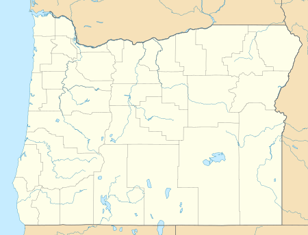
Round Top is a mountain in Washington County, Oregon with an elevation of 2,982 feet (909 m). It is in the Northern Oregon Coast Range and is located 4.3 miles (7 km) southwest of Timber, and 9 miles (14.5 km) north of South Saddle Mountain.[2] From 1933 to 1946, the summit was the site of a fire lookout tower and cabin.[3]
| Round Top | |
|---|---|
 Round Top | |
| Highest point | |
| Elevation | 2,983 ft (909 m) NAVD 88[1] |
| Coordinates | 45°40′37″N 123°21′46″W [1] |
| Geography | |
| Location | Washington County, Oregon, U.S. |
| Parent range | Northern Oregon Coast Range |
| Topo map | USGS Timber |
References
- "Round Top". NGS data sheet. U.S. National Geodetic Survey. Retrieved 2008-11-01.
- "Elevation Ladder from Round Top". Pealbagger.com. Retrieved 2008-04-03.
- "Round Top Fire Lookout Tower". Rex's Fire Lookout Page. Retrieved 2008-04-03.
External links
- "Round Top". Geographic Names Information System. United States Geological Survey. Retrieved 2008-11-01.
- "Round Top Summit". MountainZone.com. Retrieved 2008-04-03.
- "Site Guide: Timber area, Washington County, Oregon". The Bird Guide. Retrieved 2008-04-03.
This article is issued from Wikipedia. The text is licensed under Creative Commons - Attribution - Sharealike. Additional terms may apply for the media files.