Rohrenkopf
The Rohrenkopf is a mountain, 1,169.8 m above sea level (NHN)[1] high, in the Southern Black Forest in Germany. It rises within the parish of Gersbach, a village in the borough of Schopfheim.
| Rohrenkopf | |
|---|---|
 Rohrenkopf | |
| Highest point | |
| Elevation | 1,170 m (3,840 ft) |
| Coordinates | 47°42′47″N 07°55′38″E |
| Geography | |
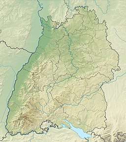
| Location | Baden-Württemberg, Germany |
| Parent range | Black Forest |
Geography
To the southwest is the county town (Kreisstadt) of Lörrach, 32 kilometres away.
The Rohrenkopf is Gersbach's highest point. In good weather the Swiss Alps may be seen, including the trio of the Eiger, Mönch and Jungfrau.
References
- Map services of the Federal Agency for Nature Conservation
This article is issued from Wikipedia. The text is licensed under Creative Commons - Attribution - Sharealike. Additional terms may apply for the media files.