Roc de Gleisin
The Roc de Gleisin is a Massif de la Chartreuse mountain located between Entremont-le-Vieux and Saint-Pierre-d'Entremont in Savoie districts. Rock bars on its western side also delimit the territory of Corbel district. The summit is 1,434 metres (4,705 ft) above sea level.[1] The mountain is most composed of limestone.
| Roc de Gleisin | |
|---|---|
 | |
| Highest point | |
| Elevation | 1,434 m (4,705 ft) |
| Coordinates | 45°26′32″N 05°50′53″E |
| Geography | |
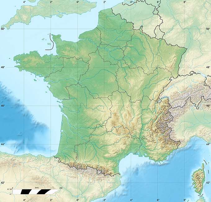 Roc de Gleisin France | |
| Location | Savoie, France |
| Parent range | Chartreuse Mountains |
| Climbing | |
| Easiest route | From the Col du Grapillon |
Hike
The top of the roc de Gleisin ridge allows access to Roche Veyrand south, Col de la Cluse north or to return to the town of Saint-Pierre-d'Entremont in Savoie east.
This article is issued from Wikipedia. The text is licensed under Creative Commons - Attribution - Sharealike. Additional terms may apply for the media files.