Roboré
It is home to the Regimiento De Infanteria 15 Junin Roboré[3] of the Bolivian Army.
Roboré | |
|---|---|
Town | |
 Flag  Seal | |
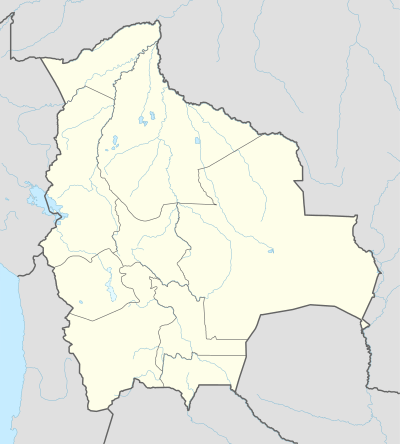 Roboré Location of San Ignacio in Bolivia | |
| Coordinates: 18°20′S 59°45′W | |
| Country | |
| Department | |
| Province | Chiquitos |
| Municipality | Roboré |
| Elevation | 856 ft (261 m) |
| Population (2012) | |
| • Total | 10,098 |
| Time zone | UTC-4 (BST) |
| Sources: Google Maps[1] OSM[2] | |
Roboré is a town in eastern Bolivia.
Climate
| Climate data for Robore | |||||||||||||
|---|---|---|---|---|---|---|---|---|---|---|---|---|---|
| Month | Jan | Feb | Mar | Apr | May | Jun | Jul | Aug | Sep | Oct | Nov | Dec | Year |
| Record high °C (°F) | 37.2 (99.0) |
37.2 (99.0) |
38.3 (100.9) |
36.1 (97.0) |
35.6 (96.1) |
33.9 (93.0) |
35.0 (95.0) |
36.7 (98.1) |
39.4 (102.9) |
40.6 (105.1) |
40.0 (104.0) |
37.8 (100.0) |
40.6 (105.1) |
| Average high °C (°F) | 32.8 (91.0) |
33.3 (91.9) |
32.2 (90.0) |
30.6 (87.1) |
26.7 (80.1) |
29.4 (84.9) |
27.8 (82.0) |
29.4 (84.9) |
31.7 (89.1) |
33.3 (91.9) |
32.2 (90.0) |
32.2 (90.0) |
31.1 (88.0) |
| Daily mean °C (°F) | 28.5 (83.3) |
28.0 (82.4) |
27.3 (81.1) |
25.5 (77.9) |
23.6 (74.5) |
22.0 (71.6) |
22.0 (71.6) |
24.6 (76.3) |
26.8 (80.2) |
29.2 (84.6) |
28.2 (82.8) |
28.7 (83.7) |
26.2 (79.2) |
| Average low °C (°F) | 22.2 (72.0) |
21.1 (70.0) |
20.0 (68.0) |
16.7 (62.1) |
14.4 (57.9) |
15.6 (60.1) |
14.4 (57.9) |
15.6 (60.1) |
18.3 (64.9) |
20.0 (68.0) |
20.6 (69.1) |
22.2 (72.0) |
18.3 (64.9) |
| Record low °C (°F) | 17.2 (63.0) |
9.4 (48.9) |
12.2 (54.0) |
2.2 (36.0) |
0.0 (32.0) |
2.2 (36.0) |
4.4 (39.9) |
3.9 (39.0) |
5.0 (41.0) |
10.0 (50.0) |
12.8 (55.0) |
14.4 (57.9) |
0.0 (32.0) |
| Average precipitation mm (inches) | 152.8 (6.02) |
128.3 (5.05) |
130.6 (5.14) |
92.1 (3.63) |
76.5 (3.01) |
50.2 (1.98) |
23.2 (0.91) |
34.9 (1.37) |
51.7 (2.04) |
94.7 (3.73) |
123.6 (4.87) |
137.2 (5.40) |
1,095.7 (43.14) |
| Average precipitation days (≥ 1.0 mm) | 9.5 | 8.0 | 8.9 | 7.4 | 8.0 | 4.3 | 2.8 | 2.5 | 2.8 | 8.9 | 8.2 | 9.6 | 81.0 |
| Average relative humidity (%) | 73 | 71 | 74 | 76 | 77 | 68 | 68 | 64 | 61 | 61 | 69 | 69 | 69 |
| Source: Deutscher Wetterdienst[4] | |||||||||||||
References
- Roboré Google Maps
- OpenStreetMap Roboré
- 15th Infantry Regiment YouTube
- "Klimatafel von Roboré; Prov. Santa Cruz / Bolivien" (PDF). Baseline climate means (1961-1990) from stations all over the world (in German). Deutscher Wetterdienst. Retrieved 27 January 2016.
This article is issued from Wikipedia. The text is licensed under Creative Commons - Attribution - Sharealike. Additional terms may apply for the media files.