River to River Trail
The River to River Trail is a 160 mile (256 km)-long hiking trail that serves Shawnee National Forest in far southern Illinois. The trail is used by both equestrians and hikers. About half is on off road trails. Its eastern terminus has historically been Battery Rock, overlooking the Ohio River but now generally Elizabethtown, Illinois is used as the eastern terminus. The western terminus is in Grand Tower, Illinois, at the Mississippi River. Sections of the River to River Trail form part of the Southern Section of the American Discovery Trail.[1][2]
| River to River Trail | |
|---|---|
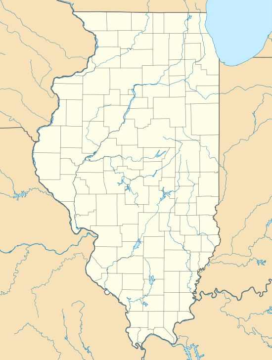 Location within the state of Illinois | |
| Nearest city | Grand Tower (west), Goreville (center west), Eddyville (center east), Elizabethtown (east) |
| Coordinates | 37°29′26″N 88°54′43″W |
| Governing body | |
| River to River Trail | |
| Length | 162 Miles |
| Location | Illinois |
| Trailheads | Grand Tower, Illinois, Elizabethtown, Illinois, Battery Rock |
| Use | Hiking, Equestrian |
| Trail difficulty | Moderate |
| Season | Hiking All, Equestrian May–October |
| Hazards | Ticks, Rattlesnake, Copperhead Snake |
From east to west, the trail serves the following settlements and resources:
- Elizabethtown, Illinois
- Garden of the Gods Wilderness
- One Horse Gap
- Lusk Creek Wilderness
- Eddyville, Illinois
- Tunnel Hill State Trail
- Ferne Clyffe State Park
- Panther Den Wilderness
- Crab Orchard Wilderness
- Giant City State Park
- Makanda, Illinois
- Bald Knob Wilderness
- Clear Springs Wilderness
- Grand Tower, Illinois
The River to River Trail Society has published a guidebook to the trail's campsites, orientation, safe water sources, and other useful information.[1] A significant spur trail serves Elizabethtown, Illinois.[2]
Waypoints
Following are waypoints on the trail:
References
- "River to River Trail". River to River Trail Society. Retrieved 2009-05-09.
- Zyznieuski, Walt (2009-05-07). "Exploring the Shawnee National Forest". Illinois Times. Retrieved 2009-05-09.
External Map and Hiking Journal Links
- Hiking Project Downloadable gpx from 2017. More points than OpenStreetMap.
- Full trail on OpenStreetmap.org
- Full trail downloadable GPX at Way Marked Trails
- Trail Journals for River to River Trail
- Trail Run Project