Redmain, Cumbria
Redmain is a small hamlet in the Isel Valley and parish of Blindcrake within the Lake District National Park in Cumbria. The hamlet lies on the south-facing slopes above the River Derwent, in an elevated position of 475 feet (145 m), giving panoramas across the Isel Valley and Lake District Fells. Nearby are the hamlets of Isel and Sunderland and the village of Blindcrake.
| Redmain | |
|---|---|
 Redmain | |
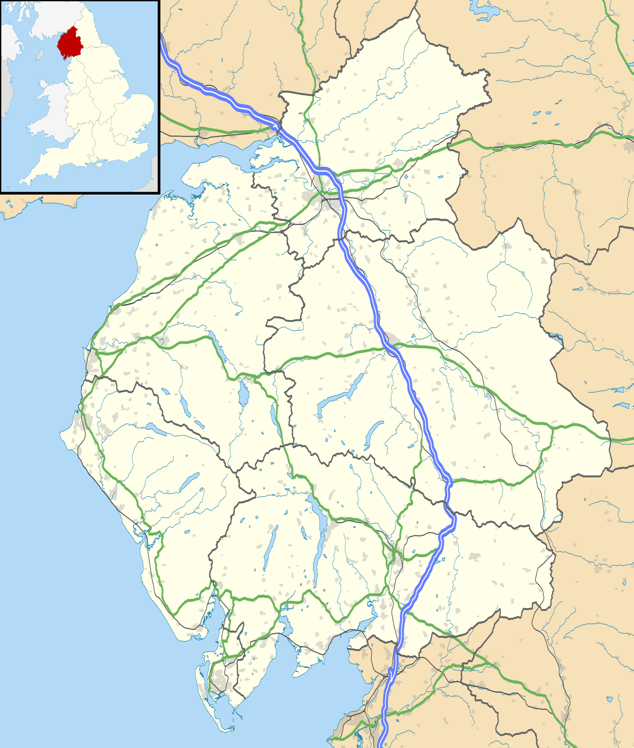 Redmain Location within Cumbria | |
| OS grid reference | NY137338 |
| Civil parish | |
| District | |
| Shire county | |
| Region | |
| Country | England |
| Sovereign state | United Kingdom |
| Post town | COCKERMOUTH |
| Postcode district | CA13 |
| Dialling code | 01900 |
| Police | Cumbria |
| Fire | Cumbria |
| Ambulance | North West |
| UK Parliament | |
The hamlet is just under four miles north-east of Cockermouth, off the old Roman road to Carlisle (A595). It is 12 miles from Keswick and, along the A66, it is 29 miles from the M6 motorway at Penrith.
Etymology
The name Redmain was first recorded in 1188 as "Redeman",[1] and is of Brittonic origin.[1][2] The first element is rïd meaning "a ford",[2] the second may be the definite article ï,[2] and the final element is -maɣn meaning "a stone" (Welsh ryd-y-maen).[2]
See also
References
- Dickins, Bruce (1950). The Place-names of Cumberland: Eskdale, Cumberland and Leath Wards. The University Press. p. 266. Retrieved 11 August 2019.
- James, Alan G. "A Guide to the Place-Name Evidence - Guide to the Elements" (PDF). Scottish Place Name Society - The common Brittonic Language in the Old North. Retrieved 25 October 2018.
| Wikimedia Commons has media related to Redmain, Cumbria. |