Rafael Calzada, Buenos Aires
Rafael Calzada | |
|---|---|
Ciudad | |
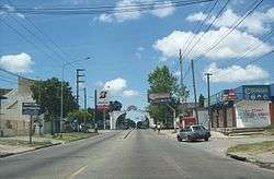 San Martín Ave., looking eastwards. The city's arch can be seen in the background. | |
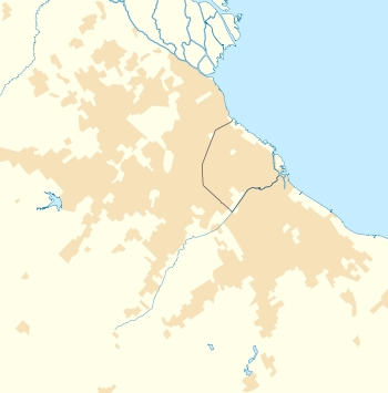 Rafael Calzada Location in Greater Buenos Aires | |
| Coordinates: 34°47′S 58°22′W | |
| Country | |
| Province | |
| Partido | Almirante Brown Partido |
| Elevation | 24 m (79 ft) |
| Population | |
| • Total | 56,419 |
| CPA Base | B 1847 |
| Area code(s) | +54 11 |
Rafael Calzada is an Argentine city (Spanish: ciudad) within the Almirante Brown Partido, which is located in the Greater Buenos Aires conurbation, Argentina. It has an area of 5.14 km² and a population of 56,419 (2001 census [INDEC]). The city is linked with Buenos Aires by a railway station having the same name; both electric and diesel services stop at the station. It is also served by a number of buses that converge into the train station, and connect it with neighbour cities, as well as with Buenos Aires.
This article is issued from Wikipedia. The text is licensed under Creative Commons - Attribution - Sharealike. Additional terms may apply for the media files.