Punta Mariato
Punta Mariato or Mariato Point (Spanish Punta Mariato) is a cape in western Panama and is the southernmost point on the mainland of North America [3] and is one of the Extreme points of Earth.

 Panama | |
| |
| Location | Punta Mariato Veraguas Province Panama |
|---|---|
| Coordinates | 7°12′41.9″N 80°53′08.1″W |
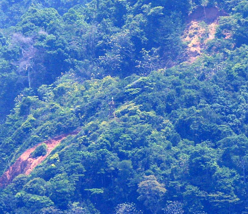
| Foundation | concrete base |
| Construction | metal skeletal tower |
| Tower shape | square pyramidal skeletal tower with balcony and light |
| Markings / pattern | white tower |
| Tower height | 12 metres (39 ft) |
| Focal height | 102 metres (335 ft) |
| Light source | solar power |
| Range | 21 nautical miles (39 km; 24 mi) |
| Characteristic | Fl W 30s. |
| Admiralty number | G3252 |
| NGA number | 0038[1][2] |
Geography
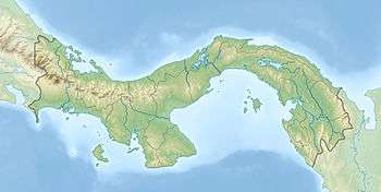
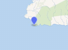
Punta Mariato is situated in the southern part of the Veraguas Province in central Panama. The coordinates are 07°12′32″N 80°53′10″W.
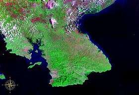
The cape is located on the southwestern tip of the Azuero Peninsula directly on the Pacific Ocean about 15 km south of Arenas and about 70 km west of Tonosi and roughly 350 km southwest of Panama City.
Punta Mariato is uninhabited and covered by mangrove and rainforest and is part of the 33 400 hectare (8255 acres) large nature reserve Parque nacional Cerro Hoya (Cerro Hoya National Park).[4] The reserve which extends into neighbouring Los Santos Province is classified as a biosphere reserve by UNESCO.[5]
The area is hard to reach as there are few roads but the waters around the cape are popular for surfing and recreational fishing.
Punta Mariato is part of "Distrito de Mariato" (Mariato District).
History
Parque nacional Cerro Hoya was established on October 2, 1984 and is home of most of the remaining jungle habitat in the Azuero region [5] and is also habitat for a number of endangered species.[6]
See also
References
- Southern Panamá The Lighthouse Directory. University of North Carolina at Chapel Hill. Retrieved 24 January 2017
- List of Lights, Pub. 111: The West Coasts of North and South America (Excluding Continental U.S.A. and Hawaii), Australia, Tasmania, New Zealand, and the Islands of the North and South Pacific Oceans (PDF). List of Lights. United States National Geospatial-Intelligence Agency. 2016.
- , North America Map
- Archived 2008-12-19 at the Wayback Machine, Visit Panama
- , United Nations Environment Programme (UNEP)
- , Virtual Panama