Puerto Carrillo
Puerto Carrillo is a district and village in the canton of Hojancha, Guanacaste Province in Costa Rica.[1]
Puerto Carrillo | |
|---|---|
District and village | |
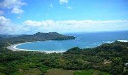 Aerial view of Carrillo Beach | |
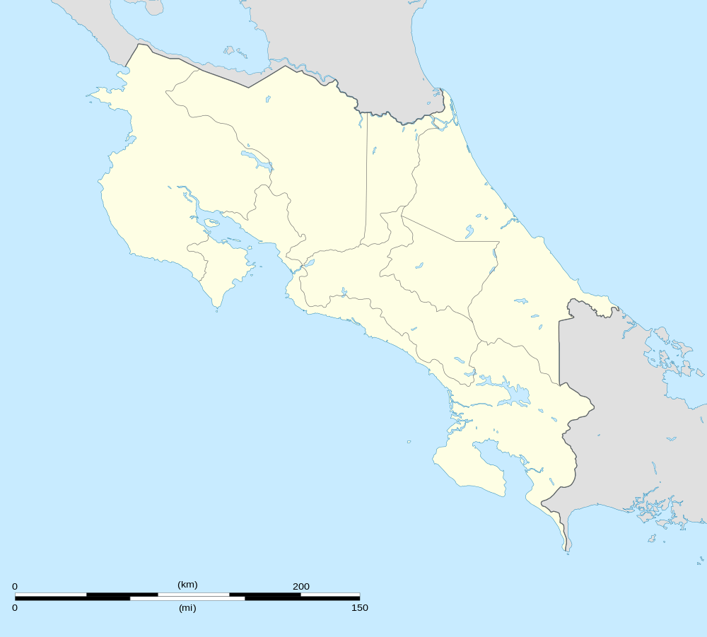 Puerto Carrillo Location in Costa Rica | |
| Coordinates: 09°52′02″N 85°28′45″W | |
| Country | Costa Rica |
| Province | Guanacaste |
| Canton | Hojancha |
| Area | |
| • Total | 75.5 km2 (29.2 sq mi) |
| Elevation | 40 m (130 ft) |
| Population (June 2013) | |
| • Total | 1,775 |
| • Density | 24/km2 (61/sq mi) |
| Postal code | 51103 |
Situated along the Pacific Coast of Costa Rica's Guanacaste Province, Puerto Carrilo is a jewel among Costa Rica's Pacific beaches. The town itself is very small (less than 500 full-time residents) and is predominantly a sport-fishing village with a handful of nice hotels, restaurants, two small food markets, and tour operators. While there are only a limited number of hotels and places to eat in Carrillo, many options are available in the nearby town of Samara, just 4 km away. The population in Carrillo is mainly local residents and still maintains an authentically Costa Rican atmosphere. The district has a population of around 1,800 people.[2]
Tourism
Puerto Carrillo is a small unobtrusive community that has been playing host to some of the most well renown sport fishing boats in the world, since its discovery as a billfish destination over 15 years ago. The tiny harbor affords protection to a small handful of charter and private boats that are here on permanent bases. The beautiful white sand beach has small waves most of the time, and is popular with swimmers and families with kids. Playa Carrillo is never crowded, and it offers nice picnic areas right on the beach. Your car will be within easy reach, wherever you decide to spend your day in the sand.
Carrillo also offers beautiful and secluded small beaches near by, El Roble is a rocky beach with its own waterfall and tide pools. Playa El Sur, beautiful medium size beach surrounded by palm trees (only accessible by boat). Playa Samara, 4 km to the north, is a much larger beach. with waves generally near knee to waist high, and is a popular place for beginning surfers and families.
Transportation
Carrillo is located approximately 41 km (25 mi) from Nicoya, the economic and administrative hub of the region. Access to Carrillo is via paved roads. The paving of the "Road 150" from[Nicoya through Sámara to Carrillo was completed in early 2006, which greatly increased the accessibility of the region and dramatically reduced driving times. The total drive now takes about 4 hours from San Jose's Juan Santamaría International Airport (SJO) and under 2 hours from Liberia's Daniel Oduber International Airport (LIR). Public buses operate between nearby Sámara and Nicoya several times a day; express buses operated by Empresa Alfaro also connect Sámara with San José usually twice a day (except weekends).
Air service was provided by Sansa Airlines to the adjacent Carrillo Airport. The airport is no longer used by Sansa Airlines. The airport is used by the Costa Rican government, Fuerza Publica, private charters and The Flying Crocodile ultralite flyers.
Villages
Administrative center of the district is the village of Puerto Carrillo.
Other villages in the district are Angostura, Arbolito, Cuesta Malanoche, Estrada Rábago, Jobo, Lajas, Quebrada Bonita (partly), San Miguel and Santa María.[1]
Gallery
 Aerial photo of Carrillo Beach
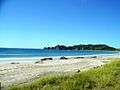 Carrillo Beach
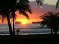 Carrillo Beach Sunset
 Carrillo Beach Sunset
 Spinner dolphins right off the coast of Carrillo
 Fire rainbow right off the coast of Carrillo
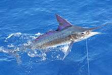 Stripe marlin right off the coast of Carrillo
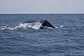 Humpback whale fluking right off the coast of Carrillo
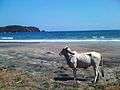
References
- "Hojancha". Retrieved 2015-03-24.
- Estadísticas Vitales 2013 Archived 2015-04-02 at the Wayback Machine - INEC