Presidio–Ojinaga International Bridge
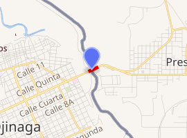
The Presidio–Ojinaga International Bridge is an international bridge that crosses the Rio Grande (Río Bravo) between the cities of Presidio, Texas, and Ojinaga, Chihuahua, on the United States-Mexico border. It connects U.S. Route 67 to the north with Mexican Federal Highway 16 to the south. The bridge is also known as "Presidio Bridge" and "Puente Ojinaga". The Presidio–Ojinaga International Bridge is currently privately owned, and a toll fee is charged. The bridge was completed and opened in 1985 and is two lanes wide and 791 feet (241 m) long.[1]
Presidio–Ojinaga International Bridge | |
|---|---|
| Coordinates | 29°33′42″N 104°23′42″W |
| Carries | |
| Crosses | Rio Grande |
| Locale | Presidio, Texas |
| Other name(s) | Presidio Bridge |
| Characteristics | |
| Total length | 791 feet |
| No. of lanes | 2 |
| History | |
| Opened | 1985 |
| Statistics | |
| Toll | Yes |
| |
Border crossing
The Presidio Texas Port of Entry is located at the Presidio–Ojinaga International Bridge. The original, privately owned wooden bridge was built in the early 1900s, and the port of entry was established by executive order in 1917.[2] The bridge was most recently replaced in 1985. The current border inspection station was completed about two years later.[3]
See also
- Presidio-Ojinaga International Rail Bridge Parallel Rail Bridge
References
- TxDOT Transportation Planning; Border Crossings
- Lord, Clifford, ed. (1944). Presidential Executive Orders Numbered 1-8030, 1862-1938. Mayor of the City of New York.
- "Archived copy". Archived from the original on 2012-06-04. Retrieved 2012-07-26.CS1 maint: archived copy as title (link)