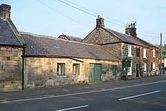
Powburn
Powburn is a small village on the A697 in Northumberland, England about 8 miles (13 km) south of Wooler and 10 miles (16 km) northwest of Alnwick.
| Powburn | |
|---|---|
 Powburn | |
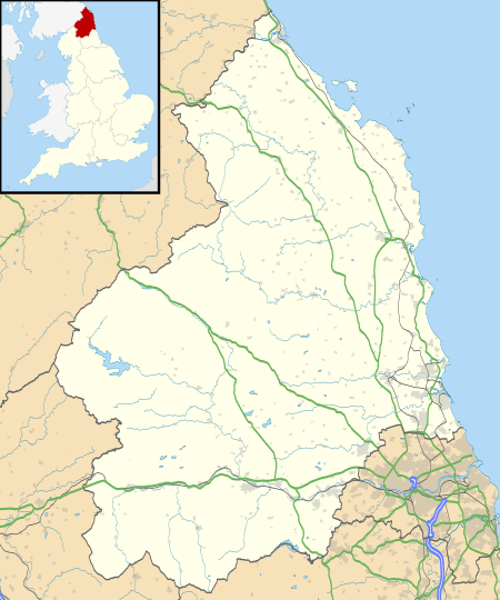 Powburn Location within Northumberland | |
| OS grid reference | NU065165 |
| Shire county | |
| Region | |
| Country | England |
| Sovereign state | United Kingdom |
| Postcode district | NE66 |
| Dialling code | 01665 |
| Police | Northumbria |
| Fire | Northumberland |
| Ambulance | North East |
| UK Parliament | |
Landmarks
The Devil's Causeway passes through the village and continues north under the A697 road crossing the River Till. The causeway is a Roman road which starts at Portgate on Hadrian's Wall, north of Corbridge, and extends 55 miles (89 km) northwards across Northumberland to the mouth of the River Tweed at Berwick-upon-Tweed.
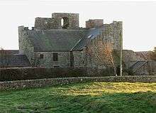
By the roadside a stiff half-mile eastwards from Powburn is Crawley Tower, a fine medieval Border pele. The fortification is a strong one (its defensive ditch is still imposing) and probably guarded the crossing, near the former Hedgeley Railway Station, of the Breamish by the Devil's Causeway.[1]
References
- Hugill, Robert (1931). Road Guide to Northumberland and The Border. Newcastle upon Tyne, England: Andrew Reid & Company, Limited.