Poulton, Gloucestershire
Poulton is a village and civil parish in the English county of Gloucestershire, approximately 24 miles (39 km) to the south-east of Gloucester. It lies in the south of the Cotswolds, an Area of Outstanding Natural Beauty. In the 2001 United Kingdom census, the parish had a population of 398,[1] increasing to 408 at the 2011 census.[2]
| Poulton | |
|---|---|
 | |
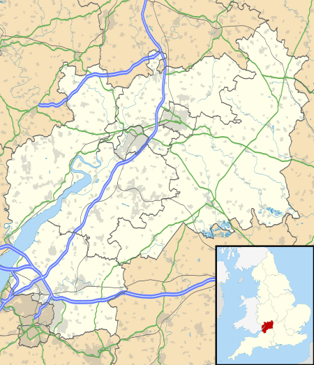 Poulton Location within Gloucestershire | |
| Population | 408 (2011 Census) |
| • London | 90 mi (140 km) E |
| Civil parish |
|
| District |
|
| Shire county | |
| Region | |
| Country | England |
| Sovereign state | United Kingdom |
| Post town | Cirencester |
| Postcode district | GL7 |
| Dialling code | 01285 |
| Police | Gloucestershire |
| Fire | Gloucestershire |
| Ambulance | South Western |
| UK Parliament | |
| Website | www |
History
Poulton was listed as Poltone in the Domesday Book of 1086.[3] Historically, the village was part of the county of Wiltshire and for centuries was — physically detached from Wiltshire — an enclave in Gloucestershire. Under the Counties (Detached Parts) Act 1844, Poulton finally became part of Gloucestershire.[4]
There was a parish church at Poulton by at least 1337, when the lord of the manor, Sir Thomas Seymour, endowed it with a chantry.[5] In 1348, Seymour built what became the Priory of St Mary.[5] From 1539, with the Dissolution of the Monasteries, the priory was used as Poulton's parish church. It was demolished in 1873.[5] The current parish church, dedicated to St Michael and All Angels, was built in 1873 by William Butterfield.[6]
Governance
Poulton is part of the Hampton ward[7] of the Cotswold district, currently represented by Councillor Lisa Spivey, a member of the Liberal Democrats.[8] Poulton is part of the constituency of The Cotswolds, currently represented at parliament by Conservative Member of Parliament (MP) Geoffrey Clifton-Brown.[9] It is part of the South West England constituency of the European Parliament.
References
- Footnotes
- "Census 2001: Key Statistics: Usual resident population". Office for National Statistics, 2001 Census table KS001, Area Type "parishes 2001", Area Name "23UC079 : Poulton". Retrieved 10 May 2019.
- "Nomis Local Area Report: Poulton Parish". Office for National Statistics, 2011 Census table KS101EW. Retrieved 10 May 2019.
- "Place name: Poulton near Cirencester, Gloucestershire, Wiltshire". Folio: 68v Great Domesday Book. The National Archives. Retrieved 10 May 2019.
- "Poulton, Gloucestershire - genealogy heraldry and history". UK Genealogy Archives. Retrieved 10 May 2019.
- Pugh & Crittall, p. 319
- Historic England, "Church of St Michael and All Angels (1153465)", National Heritage List for England, retrieved 13 June 2011
- "2011 Ward Labour Market Profile E36002938 : Hampton". Retrieved 10 May 2019.
- "Cotswold Committee Management System (CMIS) > Councillors". Cotswold District Council. Retrieved 10 May 2019.
- "MPs - UK Parliament". www.parliament.uk. Parliament of the United Kingdom. Retrieved 10 May 2019.
- Bibliography
- Pugh, R B; Crittall, Elizabeth, eds. (1956), "Houses of Gilbertine canons: Priory of St Mary, Poulton", A History of the County of Wiltshire, Volume 3, British History Online, retrieved 10 May 2019
External links
