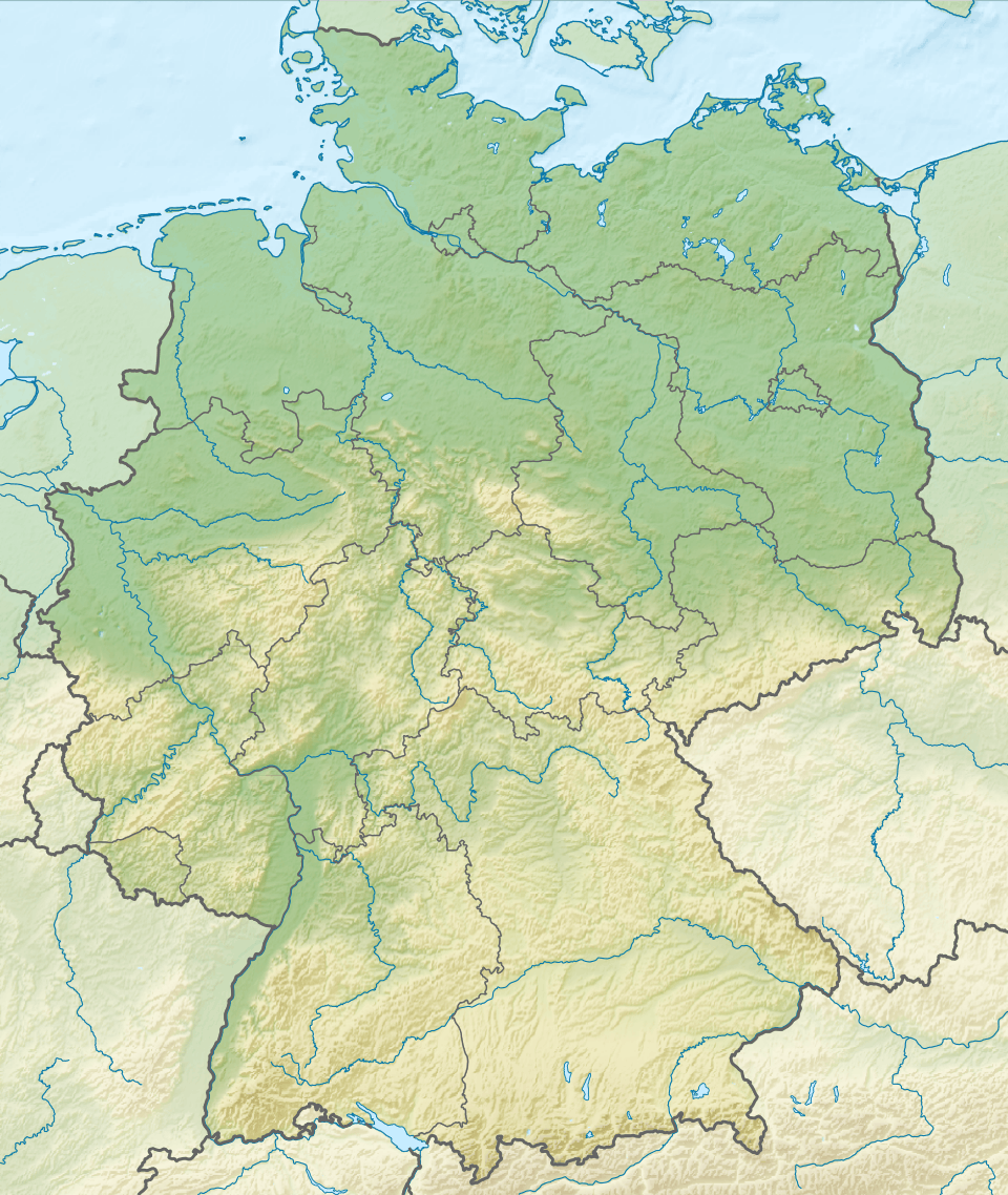
Plauer See (Mecklenburg-Vorpommern)
![]()
| Plauer See | |
|---|---|
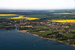 Aerial view of Plau at the lake | |
 Plauer See 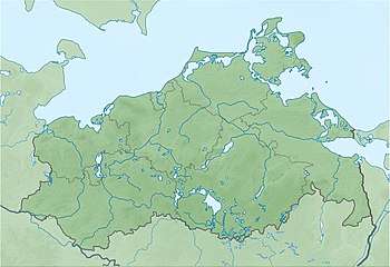 Plauer See | |
| Location | Mecklenburg-Vorpommern |
| Coordinates | 53°27′57″N 12°18′27″E |
| Primary inflows | Elde |
| Primary outflows | Müritz–Elde–Wasserstraße |
| Catchment area | 1,109 km2 (428 sq mi) |
| Basin countries | Germany |
| Surface area | 38.4 km2 (14.8 sq mi) |
| Average depth | 6.8 m (22 ft) |
| Max. depth | 25.5 m (84 ft) |
| Surface elevation | 62 m (203 ft) |
| Settlements | Plau am See |
External links

- Nixdorf, B.; et al. (2004), "Plauer See", Dokumentation von Zustand und Entwicklung der wichtigsten Seen Deutschlands (in German), Berlin: Umweltbundesamt, p. 222
This article is issued from Wikipedia. The text is licensed under Creative Commons - Attribution - Sharealike. Additional terms may apply for the media files.