Pilbara Coast
Pilbara Coast is the coastline of the Pilbara often referred to as the North West Coast of Western Australia.
Jurien
Fremantle
Mandurah
Bremer Bay
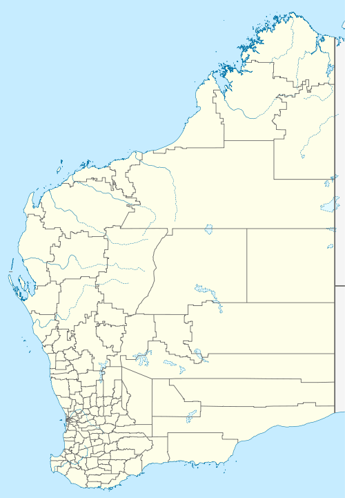
Pilbara Coast is between Wallal and North West Coast
It is a complex array of river mouths,[1] ports,[2] peninsulas, islands, and a tropical cyclone susceptible zone.[3]
It starts at Wallal and ends at North West Cape.[4]
In Bureau of Meteorology reports, Pilbara Coast East runs from Cape Preston to Wallal, and Pilbara Coast West is from Wallal to North West Cape.[5]
See also
Notes
- http://www.australiasnorthwest.com/attractions/Nature_and_wildlife/Gorges_rivers_and_lakes
- http://www.pilbaraports.com.au/
- Taylor, David; Branson, Paul; Treloar, Doug (2011), "Monte Carlo cyclone track model system for the Pilbara coast", Coasts and Ports 2011 : Diverse and Developing: Proceedings of the 20th Australasian Coastal and Ocean Engineering Conference and the 13th Australasian Port and Harbour Conference, Engineers Australia: 712–718, ISBN 978-0-85825-886-0
- Pilbara Tourism Association (2002), Discovering the central Pilbara coast, retrieved 14 December 2015
- http://www.bom.gov.au/wa/forecasts/map.shtml Western Australian Forecast Map
This article is issued from Wikipedia. The text is licensed under Creative Commons - Attribution - Sharealike. Additional terms may apply for the media files.