Pierian Mountains
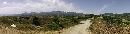
The Pierian Mountains (or commonly referred to as Piéria) are a mountain range between Imathia, Pieria and Kozani Region, south of the plain of Kambania in Central Macedonia, Greece. The village of Vergina, where the archaeological site of ancient Aigai lies, is built at the foot of these mountains. The highest point in the range is Flampouro at 2,193m (7,195 feet).The Pierian Mountains are the site of the ski resort of Elatochori.
| Pierian Mountains | |
|---|---|
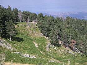 Sarakatsana location on the Pierian Mountains | |
| Highest point | |
| Elevation | 2,188 m (7,178 ft) |
| Coordinates | 40°14′06″N 22°10′39″E |
| Geography | |
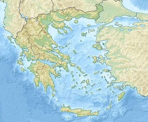 Pierian Mountains Location of Pierian Mountains within Greece | |
| Location | Greece |
| Parent range | Natural border between Central Macedonia and West Macedonia |
Further information
On 17 December 1997, a Yakovlev Yak-42 of Aerosvit Airlines, operating the route from Odessa, Ukraine to Thessaloniki, lost contact with the airport's air traffic control and during the second attempt the aircraft crashed in the Pierian mountains, near Mount Olympus. A total of 70 people, passengers and crew, 41 of which were Greeks, were killed.