Pata de Gallo Airport
Pata De Gallo Airport (ICAO: SPGA) is an extremely high elevation airport serving the town of Quiruvilca (es) in the La Libertad Region of Peru. The airport is on a ridge 4.6 kilometres (2.9 mi) east of the town.
Pata De Gallo Airport | |||||||||||
|---|---|---|---|---|---|---|---|---|---|---|---|
| Summary | |||||||||||
| Airport type | Public | ||||||||||
| Serves | Quiruvilca (es), Peru | ||||||||||
| Elevation AMSL | 13,720 ft / 4,182 m | ||||||||||
| Coordinates | 7°59′00″S 78°16′00″W | ||||||||||
| Map | |||||||||||
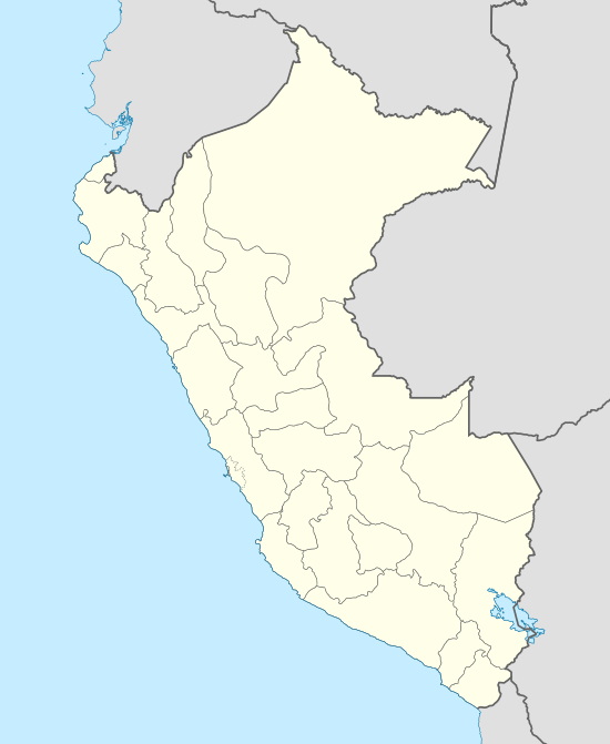 SPGA Location of the airport in Peru | |||||||||||
| Runways | |||||||||||
| |||||||||||
Quiruvilca Airport
The former Quiruvilca Airport (ICAO: SPQR)[3][4] is 7.6 kilometres (4.7 mi) east of Pata De Gallo Airport, but aerial images[5] show only deteriorated runway patches at the site.
See also


- Transport in Peru
- List of airports in Peru
References
- Airport information for Pata de Gallo Airport at Great Circle Mapper.
- Google Maps - Pata De Gallo
- Quiruvilca Airport
- OurAirports - Quiruvilca
- "Quiruvilca runway remains". Google Maps. Google. Retrieved 14 March 2018.
External links
- OpenStreetMap - Pata De Gallo
- SkyVector - Pata De Gallo
- Accident history for Quiruvilca Airport (Closed) at Aviation Safety Network
This article is issued from Wikipedia. The text is licensed under Creative Commons - Attribution - Sharealike. Additional terms may apply for the media files.