Paloemeu
Paloemeu or Palumeu is a small Amerindian village in the interior of Suriname, situated at the site where the Paloemeu River joins the Tapanahoni River. Most inhabitants of the village are native Tiriyó Amerindians. The remainder belongs to Wayana tribe.[2] Vincent Fayks Airport is located near the village. The 718 metre high Kasikasima mountain is located near Paloemeu.[3] The Bosatlas in 1968 identified the village as Pepejoe which was incorrect according to the New West Indian Guide.[4]
Paloemeu Palumeu | |
|---|---|
Village | |
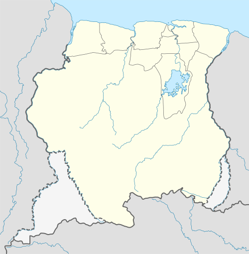 Paloemeu Location in Suriname | |
| Coordinates: 3°20′43″N 55°26′35″W | |
| Country | |
| District | Sipaliwini District |
| Resort (municipality) | Tapanahony |
| Population (2006) | |
| • Total | 96[1] |
Energy
Since the early 2000s there have been efforts to construct a micro hydroelectric power plant in the Panato creek to provide Paloemeu with electricity.[5] These efforts were initiated by the Dutch entrepreneur Arnout van de Werken. Several difficulties, including the flooding of the small reservoir in 2005, have hampered the project.[6] As of 2014, Palumeu still does not have full day electricity, and continues to rely on the few hours of diesel-generated electricity provided by the government.[7]
.jpg)
Healthcare
Paloemeu is home to a Medische Zending healthcare centre.[9]
Notes
- Heemskerk et al. 2007, p. 21.
- Heemskerk et al. 2007, p. 39.
- "Kasikasima Jungle Expeditie". Mets (in Dutch). Retrieved 29 May 2020.
- "Nieuwe West-Indische Gids 2 Juni 1968". Nieuwe West-Indische Gids via jstor.org (in Dutch). Retrieved 25 June 2020.
- The GEF Small Gifts Programme - Electrification of village Palumeu through application of micro hydropower works in the Panato creek
- Tijseling, Alan (1 October 2007). "Palumeu, van de stroom en de dam die overstroomde". Parbode. Retrieved 25 April 2016.
- "Inwoners Palumeu willen elektriciteit en drinkwater en voldoende leerkrachten". Obsession magazine. 25 April 2014. Retrieved 25 April 2016.
- "Planning Office Suriname - Districts" (PDF). Planning Office Suriname (in Dutch). Retrieved 18 June 2020.
- "Zorggebied". Medische Zending.sr (in Dutch). Retrieved 27 May 2020.
References
- Heemskerk, Marieke; Delvoye, Katia; Noordam, Dirk; Teunissen, Pieter (2007). Wayana Baseline Study: A sustainable livelihoods perspective on the Wayana Indigenous Peoples living in and around Puleowime (Apetina), Palumeu, and Kawemhakan (Anapaike) in Southeast Suriname (PDF). Paramaribo: Stichting Amazon Conservation Team-Suriname.CS1 maint: ref=harv (link)