Palentine Plains
The Palentine Plains (Italian: Piani Palentini [ˈpjaːni palenˈtiːni]) are a plateau in upper Marsica, a subregion of Abruzzo, Central Italy.
| Palentine Plains | |
|---|---|
 View of the Palentine Plains | |
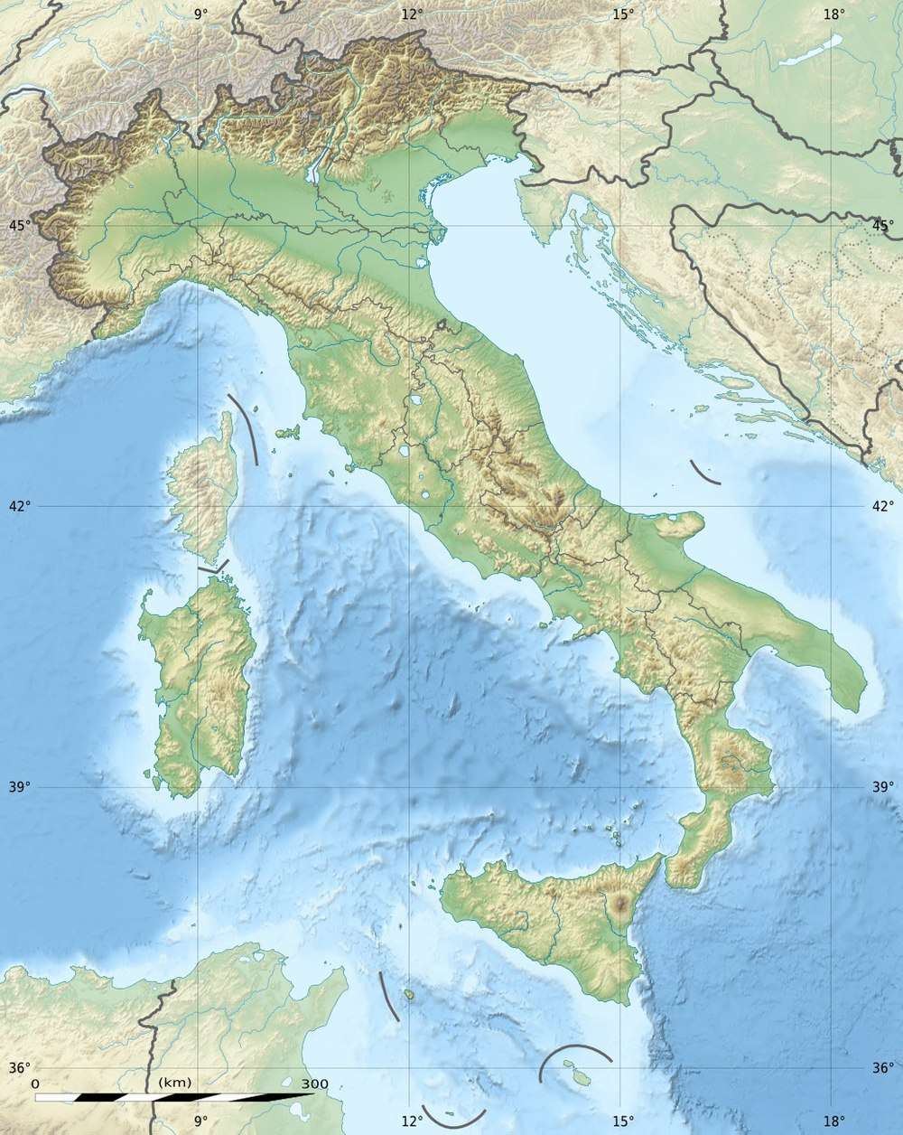 Palentine Plains Location of the Palentine Plains in Italy | |
| Floor elevation | 700 m (2,300 ft) |
| Geography | |
| Location | Province of L'Aquila, Italy |
| Population centers | Avezzano, Capistrello, Magliano de' Marsi, Scurcola Marsicana, Tagliacozzo |
| Coordinates | 42°01′54.9″N 13°24′04.4″E |
Description
The plains, located between 680 and 720 m (2,230 and 2,360 ft) a.s.l., are surrounded by mountain reliefs such as those of the Sirente-Velino group, Mount San Nicola, the Mount Bove massif (Carseolan Mountains), and the Mount Salviano range. Mounts Aurunzo and Girifalco separate the plains from the Nerfa Valley.[1]
This plateau is adjacent to the Fucino plain in the east, and to the upper Cicolano valley in the northwest part, falling within the territories of the municipalities of Avezzano, Capistrello, Magliano de' Marsi, Scurcola Marsicana, and Tagliacozzo. The small Terramone depression, situated between the Cappelle dei Marsi and Magliano de' Marsi territories, is part of the area. The plateau is mostly for agricultural use.
Origin of the name
The origin of the name is not clear. According to one hypothesis, it would be related to Pales, a deity of Roman mythology, protecting shepherds, flocks and livestock.[2] In ancient times the plains were also called "Valentine Camps" (Italian: Campi Valentini).[3]
History
Thanks to numerous archaeological finds, it was ascertained that, in the Roman age, after the foundation of the colony of Alba Fucens, the whole area underwent a centuriation and the various pieces of land that had been so delimited were granted to Latin settlers.[4] A few years after the first draining of Fucino operated by Emperor Claudius, through the building of the tunnels of the same name between 41 and 52 AD, the Palentine Plains were provided with an aqueduct to serve country villas and facilitate farming activities.[5]
Battle of Tagliacozzo
In 1268 the Battle of Tagliacozzo was fought in this location, which saw Conradin of Hohenstaufen's defeat, causing the fall of the House of Swabia from the Sicilian throne and Charles I of Anjou's supremacy in the Italian territory.[6]
Landmarks

- Necropolis of the Palentine Plains in the Scurcola Marsicana territory
- Aurunzo aqueduct, an underground canal designed by Consul Lucius Arruntius and built between 41 and 54 AD, in the same period as the building of tunnels of Claudius at the base of Mount Aurunzo between Castellafiume and Corcumello.[7][8]
- Rocca Orsini in Scurcola Marsicana
- Church of Santa Lucia in Magliano de' Marsi
- Remains of the supposed tomb of King Perseus of Macedon (Magliano de' Marsi)
- Medieval villages of Corcumello and Rosciolo dei Marsi
- Church of Santa Maria in Valle Porclaneta (Rosciolo dei Marsi)
- Historical centre of Tagliacozzo
- Sanctuary of the Madonna dell'Oriente in Tagliacozzo
- Palentine Caves in the Salviano mountain range
- Orsini-Colonna Castle
See also
References
- "Gli equi: un periodo della storia antica degli italiani" (in Italian). Archive.org. Retrieved 30 October 2018.
- "Festa della montagna all'altopiano della Renga" (in Italian). Terre Marsicane. 24 July 2017. Retrieved 23 July 2018.
- Corsignani 1738, p. 790.
- "L'età antica - Roma ed Alba Fucens". Comune di Avezzano (Giuseppe Grossi). Retrieved 30 October 2018.
- "L'ager Albensis e il fundus Avidianus". Comune di Avezzano (Giuseppe Grossi).
- Angelo Melchiorre. "La battaglia di Tagliacozzo" (in Italian). Terre Marsicane. Archived from the original on 9 January 2018. Retrieved 15 June 2016.
- Francesco Proia (21 February 2018). "L'acquedotto dell'Arunzio: ecco come i romani fecero le prove generali del prosciugamento del Fucino" (in Italian). Marsica Live. Retrieved 21 February 2018.
- "Capistrello" (in Italian). Spartiacque.com. Retrieved 21 February 2018.
Bibliography
- Pietro Antonio Corsignani (1738). Reggia Marsicana Ovvero Memorie Topografico-Storiche Di varie Colonie, e Città antiche e moderne della Provincia de i Marsi e di Valeria: Compresa Nel Vetusto Lazio, e negli Abruzzi, Colla Descrizione Delle loro Chiese, e Immagini miracolose, e delle Vite de' Santi, cogli Uomini Illustri, e la Serie de' Vescovi Marsicani (in Italian). Parrino (original from Bavarian Public Library, Munich).CS1 maint: ref=harv (link)
External links
