Orange County Airport (Texas)
Orange County Airport (ICAO: KORG, FAA LID: ORG) is a county-owned public-use airport located three miles (5 km) southwest of the central business district of Orange, in Orange County, Texas, United States.[1]
Orange County Airport | |||||||||||||||
|---|---|---|---|---|---|---|---|---|---|---|---|---|---|---|---|
| Summary | |||||||||||||||
| Airport type | Public | ||||||||||||||
| Owner | Orange County | ||||||||||||||
| Serves | Orange, Texas | ||||||||||||||
| Elevation AMSL | 13 ft / 4 m | ||||||||||||||
| Map | |||||||||||||||
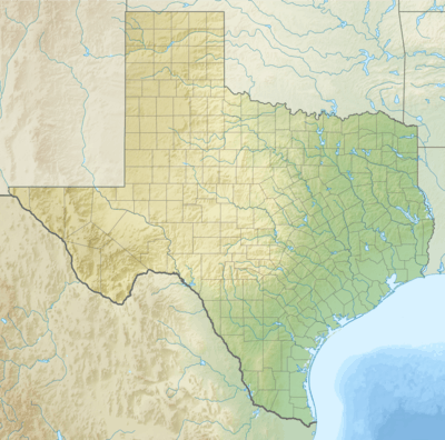 ORG Location of airport in Texas / United States  ORG ORG (the United States) | |||||||||||||||
| Runways | |||||||||||||||
| |||||||||||||||
| Statistics | |||||||||||||||
| |||||||||||||||
Although most U.S. airports use the same three-letter location identifier for the FAA and IATA, Orange County Airport is assigned ORG by the FAA but has no designation from the IATA[2] (which assigned ORG to Zorg en Hoop Airport in Paramaribo, Suriname[3]).
Facilities and aircraft
Orange County Airport covers an area of 820 acres (330 ha) and contains two runways: 4/22 has an asphalt pavement measuring 5,500 x 75 ft (1,676 x 23 m) and 13/31 has a turf surface measuring 3,000 x 50 ft (914 x 15 m). For the 12-month period ending December 15, 2001, the airport had 11,332 aircraft operations, an average of 51 per day: 93% general aviation and 7% air taxi. In August 2017, there were 29 aircraft based at this airport: 24 single-engine, 2 multi-engine, 1 helicopter and 2 ultra-lights.[1]
References
Flafsted.R (2006).German Companies.All around Europe. 23,(4)5-8 Jefferson.M(2008). Airport weekly. Airports Today. 19,(4)7-12
External links
- Orange County Airport page at Orange County website
- Resources for this airport:
- FAA airport information for ORG
- AirNav airport information for KORG
- FlightAware airport information and live flight tracker
- NOAA/NWS weather observations: current, past three days
- SkyVector aeronautical chart, Terminal Procedures