Onyang-dong
Onyang-dong, actually a series of six dong, is the central and most populous part of the city of Asan in Chungcheongnam-do, South Korea. It is here that Asan City Hall is located.
Onyang-dong, Asan 아산시 온양동 | |
|---|---|
| Korean transcription(s) | |
| • Hangul | 아산시 온양동 |
| • Hanja | 牙山市 溫陽洞 |
| • Revised Romanization | Asan-si Onyang-dong |
| • McCune-Reischauer | Asan-si Onyang-tong |
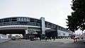
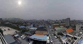 Panorama of Onyang | |
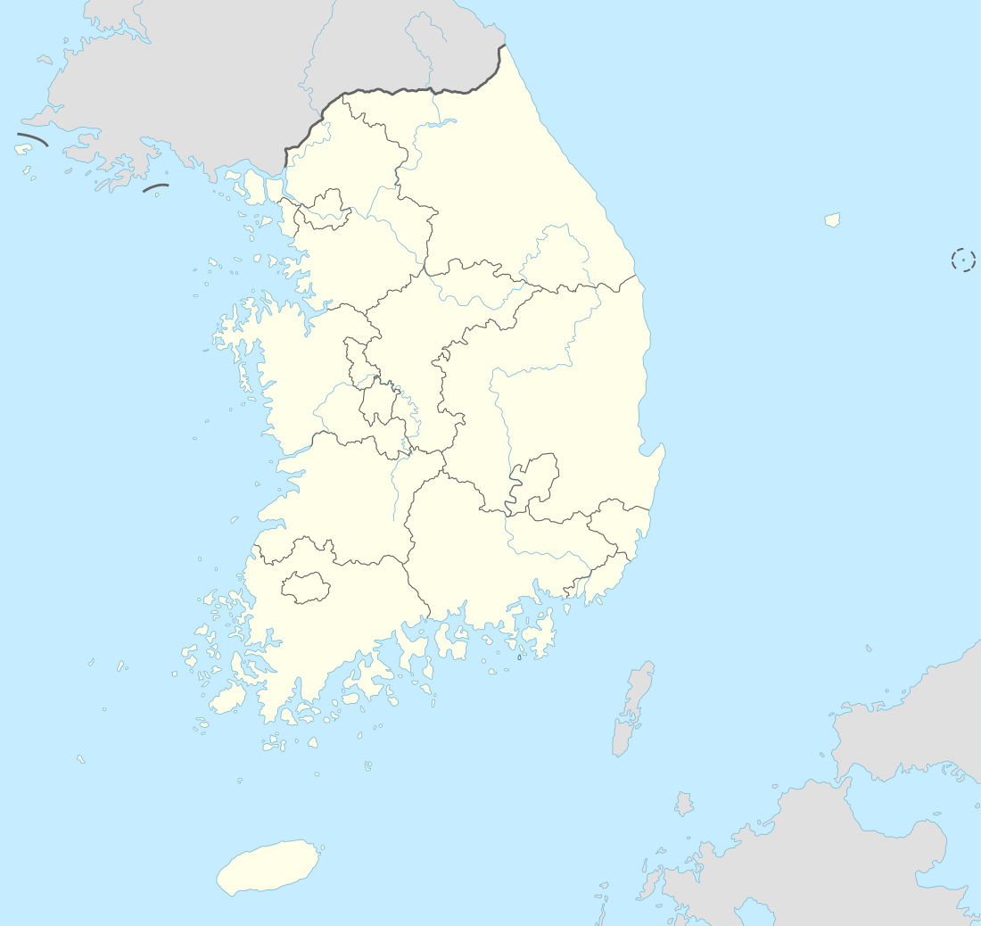 Onyang-dong, Asan Location in South Korea | |
| Coordinates: 36°46′58″N 127°00′17″E | |
| Country | |
| Region | Hoseo |
| Administrative divisions | 6 dong |
| Area | |
| • Total | 44.61 km2 (17.22 sq mi) |
| Population (2005) | |
| • Total | 93,419 |
| • Density | 2,094.1/km2 (5,424/sq mi) |
| • Dialect | Chungcheong |
Geography
Onyang-dong lies in the centre of Asan, 10 km south-west of Cheonan. It is bordered by Yeomchi-eup to the north, Sinchang-myeon to the west, Baebang-myeon to the south-east and Tangjeong-myeon to the north-east.
Onyang-dong's northern border is the Gokgyo-cheon, a stream which flows west to join the Samgyo-cheon before emptying into Asan Bay, while Sinjeong-ho, a small reservoir, lies to the south-west.
Demographics
50.2% of the population are male and 49.8% female, with only 0.75% of the population being foreign. There are 35086 registered residences, making the average household consist of 2.7 people and the population density is 2094 people per square kilometre, the total area of the six dong being 44.6 km2.[1][2]
Administrative divisions
The administrative "dong" (wards) of Onyang-dong are as follow.
Transportation
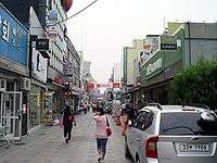
Onyang is served by its railway station, named Onyang Oncheon, by Asan Bus Terminal, and by a range of local buses. The station serves trains on the Janghang Line (from Cheonan to Iksan and also has services on Line 1 of the Seoul Metropolitan Subway.
 Onyang Oncheon Station
 Local buses in Onyang
See also
References
- "Chungnam Asan City - General Information - Population". Asan City Council. 2009-09-25.
- "Chungnam Asan City - General Information - Administrative Districts". Asan City Council. 2009-09-25.