Nugnugaluktuk River
The Nugnugaluktuk River is a stream, 26 miles (42 km) long, on the Seward Peninsula in the U.S. state of Alaska.[1] It flows east from within the Nome Census Area to Goodhope Bay, about 37 miles (60 km) northwest of Deering in the Northwest Arctic Borough.[1] The bay is on Kotzebue Sound of the Chukchi Sea.[1] The entire course of the river lies within the Bering Land Bridge National Preserve.[4]
| Nugnugaluktuk River | |
|---|---|
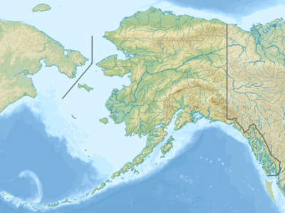 Location of the mouth of the Nugnugaluktuk River in Alaska | |
| Location | |
| Country | United States |
| State | Alaska |
| District | Nome Census Area, Northwest Arctic Borough |
| Physical characteristics | |
| Source | Seward Peninsula |
| • location | Nome Census Area |
| • coordinates | 66°09′24″N 164°48′28″W[1] |
| • elevation | 104 ft (32 m)[2] |
| Mouth | Goodhope Bay on Kotzebue Sound of the Chukchi Sea |
• location | 37 miles (60 km) northwest of Deering, Northwest Arctic Borough |
• coordinates | 66°11′24″N 164°06′25″W[1] |
• elevation | 0 ft (0 m)[1] |
| Length | 26 mi (42 km)[3] |
The river's assigned name comes from the Inuit, as reported in 1903. In 1998, the Inupiat name was recorded as Liglignaqtuugvik.[1]
See also
References
- "Nugnugaluktuk River". Geographic Names Information System. United States Geological Survey. March 31, 1981. Retrieved September 19, 2013.
- Derived by entering source coordinates in Google Earth.
- Orth, Donald J.; United States Geological Survey (1971) [1967]. Dictionary of Alaska Place Names: Geological Survey Professional Paper 567 (PDF). University of Alaska Fairbanks. United States Government Printing Office. p. 707. Archived from the original (PDF) on October 17, 2013. Retrieved September 19, 2013.
- Alaska Atlas & Gazetteer (7th ed.). Yarmouth, Maine: DeLorme. 2010. p. 132. ISBN 978-0-89933-289-5.
This article is issued from Wikipedia. The text is licensed under Creative Commons - Attribution - Sharealike. Additional terms may apply for the media files.