Rajpipla
Rajpipla is a city and a municipality in the Narmada district in the Indian state of Gujarat.[1]
Rajpipla Nandod | |
|---|---|
Town | |
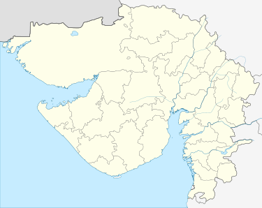 Rajpipla Location in Gujarat, India  Rajpipla Rajpipla (India) | |
| Coordinates: 21°52′14″N 73°30′10″E | |
| Country | |
| State | Gujarat |
| District | Narmada |
| Government | |
| • Member of Parliament | Ramsinh Rathva |
| Elevation | 148 m (486 ft) |
| Population (2001) | |
| • Total | 34,923 |
| Languages | |
| • Official | Gujarati, Hindi |
| Time zone | UTC+5:30 (IST) |
| Vehicle registration | GJ 22 |
| Website | gujaratindia |

It was the capital of the former Kingdom of Rajpipla.
Geography
Rajpipla is located at 21.78°N 73.57°E.[2] It has an average elevation of 148 metres (485 feet).
History
Rajpipla was known as Nandipuri during the rule of Gurjara kings, when it was the capital of the Lata kingdom. A later form of the name Nandol and Nandod have also been in use in medieval times.[3]
Demographics
As of 2001 India census,[4] Rajpipla had a population of 34,923. Males constitute 51% of the population and females 49%. Rajpipla has an average literacy rate of 97%, higher than the national average of 59.5%: male literacy is 92%, and female literacy is 91%. In Rajpipla, 10% of the population is under 6 years of age. Rajpipla is one of the most literate towns of Gujarat.
References
- "Gujarat: Government plans airport at Rajpipla for better connectivity with Statue of Unity".
- Falling Rain Genomics, Inc - Rajpipla
- Vallabh Vidyanagar Research Bulletin, Volume 1, Issues 1-2, 1957, p. 36.
- "Census of India 2001: Data from the 2001 Census, including cities, villages and towns (Provisional)". Census Commission of India. Archived from the original on 16 June 2004. Retrieved 1 November 2008.
External links
- Shri-Harsiddhi-Mataji-Temple
- Genealogy of the Rajpipla house
- Rajpipla - Princely State
- Open library resource
- Playne, Somerset; Solomon, R. V. ; Bond, J. W.; Wright, Arnold; Indian States
- Rajpipla State Post - Postal History of Rajpipla State