Muna Island
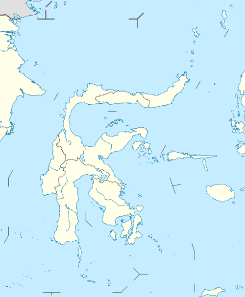
Muna (Pulau Muna) is an island in the Southeast Sulawesi province of Indonesia with an area of 2,889 km2 (1,115 sq mi). It is located just southeast of the island of Sulawesi. It currently comprises a regency (Kabupaten Muna) within the province.
%3B_links_een_adellijke_man%2C_in_het_midden_en_rechts_mannen_van_het_Reha-volk'_-_TMnr_10005692.jpg)
Three men from the Island of Muna, on the left stands a nobleman and in the centre and to the right is a man from the Reha people
| Authority control |
|
|---|
| Native name: Wuna (Witeno Wuna) | |
|---|---|
 Muna | |
| Geography | |
| Location | South East Asia |
| Coordinates | 5.0°S 122.5°E |
| Area | 2,889 km2 (1,115 sq mi) |
| Highest elevation | 250 m (820 ft) |
| Highest point | Unnamed |
| Administration | |
| Province | |
| Largest settlement | Raha |
| Demographics | |
| Population | 268,140 (2010) |
| Ethnic groups | Muna people, Butonese people, Bugis, Javanese |

Muna within the Buton Archipelago
This article is issued from Wikipedia. The text is licensed under Creative Commons - Attribution - Sharealike. Additional terms may apply for the media files.