Mulayit Taung
Mulayit Taung,[2] မူႋလာအာ် also known as Muleh Yit,[3] is a mountain of the Dawna Range. It is located towards the southern end of the range in Kayin State, Burma, 12 km to the NNW of the border with Thailand.
| Mulayit Taung | |
|---|---|
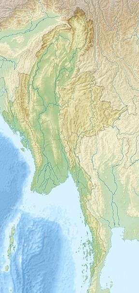 Mulayit Taung Location in Burma | |
| Highest point | |
| Elevation | 2,005 m (6,578 ft) [1] |
| Listing | List of mountains in Burma |
| Coordinates | 16°11′00″N 98°31′00″E |
| Geography | |
| Location | Kayin State, Myanmar |
| Parent range | Dawna Range |
| Climbing | |
| First ascent | unknown |
| Easiest route | climb |
The Tenasserim white-bellied rat (Niviventer tenaster),[4] the silver-eared laughingthrush (Trochalopteron melanostigma)[5] and the grey-sided thrush (Turdus feae), a vulnerable species,[6] are found in the Mulayit Taung area.
See also
- Dawna Range
- List of mountains in Burma
- Mulayit Wildlife Sanctuary
Local Karen People spelled Maw Lor Ei mountain. မုလအိေတာင္ in Burmese.
References
- Google Earth
- Geographical names of Myanmar
- William Wilson Hunter. The Imperial Gazetteer of India (Volume 4)
- Mammal species of the world:a taxonomic and geographic reference, Volume 2
- World Bird Info
- Threatened Birds of Asia: The BirdLife International Red Data Book
External links
This article is issued from Wikipedia. The text is licensed under Creative Commons - Attribution - Sharealike. Additional terms may apply for the media files.