Mudgegonga, Victoria
Mudgegonga is a locality in northeast Victoria, Australia. It is 316 kilometres (196 mi) northeast of the state capital, Melbourne. At the 2016 census, Mudgegonga had a population of 172.[1]
| Mudgegonga Victoria | |
|---|---|
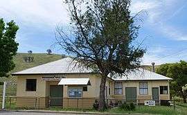 Public hall | |
 Mudgegonga | |
| Coordinates | 36°30′S 146°50′E |
| Population | 172 (2016 census)[1] |
| Postcode(s) | 3737 |
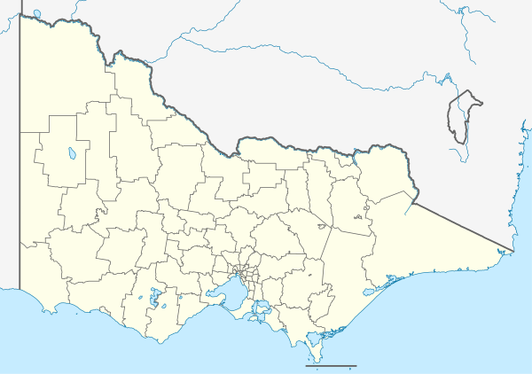
| Location |
|
| LGA(s) | |
| State electorate(s) | |
| Federal Division(s) | Indi |
Mudgegonga is 15 minutes from the nearest town Myrtleford; there are mainly farms situated in the area. The locality was affected by the Black Saturday bushfires, with two deaths in the region.[2]
References
| Wikimedia Commons has media related to Mudgegonga, Victoria. |
- "2016 QuickStats Mudgegonga". Australian Bureau of Statistics. Retrieved 18 August 2018.
- "Victoria under siege as fires rage across state". Herald Sun. 8 February 2009. Archived from the original on 8 February 2009. Retrieved 8 February 2009.
This article is issued from Wikipedia. The text is licensed under Creative Commons - Attribution - Sharealike. Additional terms may apply for the media files.