Moureaux Point
Moureaux Point (63°57′S 61°49′W) is a point which forms the north extremity of Kran Peninsula and Liege Island in Palmer Archipelago, Antarctica. The feature was charted by the French Antarctic Expedition under Charcot, 1903–05, who named it for T. Moureaux, director of the Parc Saint-Maur Observatory, near Paris. The point was photographed from the air by FIDASE, 1956-57[1].
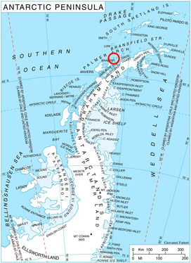
Location of Liège Island in the Antarctic Peninsula region.
Further reading
• NATIONAL GEOSPATIAL-INTELLIGENCE AGENCY, Sailing Directions (planning Guide) and (enroute) for Antarctica, P 145
External links
- Moureaux Point on USGS website
- Moureaux Point on AADC website
- Moureaux Point on SCAR website
- Moureaux Point Copernix satellite image
References
- Moureaux Point on AADC website
![]()
![]()
This article is issued from Wikipedia. The text is licensed under Creative Commons - Attribution - Sharealike. Additional terms may apply for the media files.