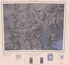
Mountaineer Range
Mountaineer Range is the range of mountains lying between the Mariner and Aviator Glaciers in Victoria Land, Antarctica. The seaward parts of the range were first viewed by Ross in 1841, and subsequently by several British and later American expeditions. The precise mapping of its overall features was accomplished from U.S. Navy air photographs and surveys by New Zealand and American parties in the 1950s and 1960s. Named by the New Zealand Geological Survey Antarctic Expedition (NZGSAE), 1958–59, in keeping with the backgrounds of members of the 1957–58 and 1958–59 field parties who made a reconnaissance of the area, and also in association with the names "Aviator" and "Mariner".[1]
| Mountaineer Range | |
|---|---|
 Mountaineer Range | |
| Highest point | |
| Peak | Mount Murchison |
| Elevation | 3,500 m (11,500 ft) |
| Geography | |
| Continent | Antarctica |
| Region | Victoria Land |
| Range coordinates | 73°28′S 166°15′E |
The highest point is Mount Murchison, at 3,500 metres (11,483 ft), on the rugged divide between the Fitzgerald and Wylde Glaciers. Discovered in January 1841 by Ross who named this feature for Sir Roderick Impey Murchison, then general secretary of the British Association.[2]
List of mountains
- Mount Murchison, 3,500 metres (11,483 ft)
- Mount Anakiwa (73°0′S 165°43′E), 2,640 metres (8,661 ft) situated 3 nautical miles (6 km) north of Mount Supernal. Named by the northern party of NZGSAE, 1966–67, after the Cobham Outward Bound School, Anakiwa, New Zealand.[3]
- Mount Brabec, 2,460 metres (8,071 ft)
References
- "Mountaineer Range". Geographic Names Information System. United States Geological Survey. Retrieved 2008-03-20.
- "Mount Murchison". Geographic Names Information System. United States Geological Survey. 2009-09-12. Retrieved 2009-09-12.
- "Mount Anakiwa". Geographic Names Information System. United States Geological Survey. Retrieved 2010-09-22.