Mount Sempu
Mount Sempu in the northern arm of Sulawesi, Indonesia, contains a 3 km wide of caldera. A maar, called Kawah Masem, was formed in the south-west of the caldera and contains a crater lake. Sulfur deposits have been extracted from the maar since 1938. Historical records, however, are unknown from the volcano.[1]
| Mount Sempu | |
|---|---|
 Mount Sempu Sulawesi, Indonesia | |
| Highest point | |
| Elevation | 1,549 m (5,082 ft) [1] |
| Listing | Ribu |
| Coordinates | 1°07′48″N 124°45′29″E [1] |
| Geography | |
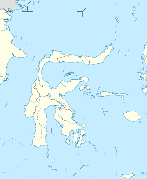
| Location | Sulawesi, Indonesia |
| Geology | |
| Mountain type | Caldera |
| Last eruption | Unknown |
See also
References
- "Sempu". Global Volcanism Program. Smithsonian Institution. Retrieved 2006-12-31.
This article is issued from Wikipedia. The text is licensed under Creative Commons - Attribution - Sharealike. Additional terms may apply for the media files.