Mount Chilalo
Mount Chilalo is an isolated, extinct silicic volcanic mountain in southeastern Ethiopia. Its highest point (4036 m or 13,241 ft a.s.l.), in the Arsi Zone of the Oromia Region, is located on the border between the Hitosa and Tiyo woreda (07°55′N 39°16′E).
| Chilalo | |
|---|---|
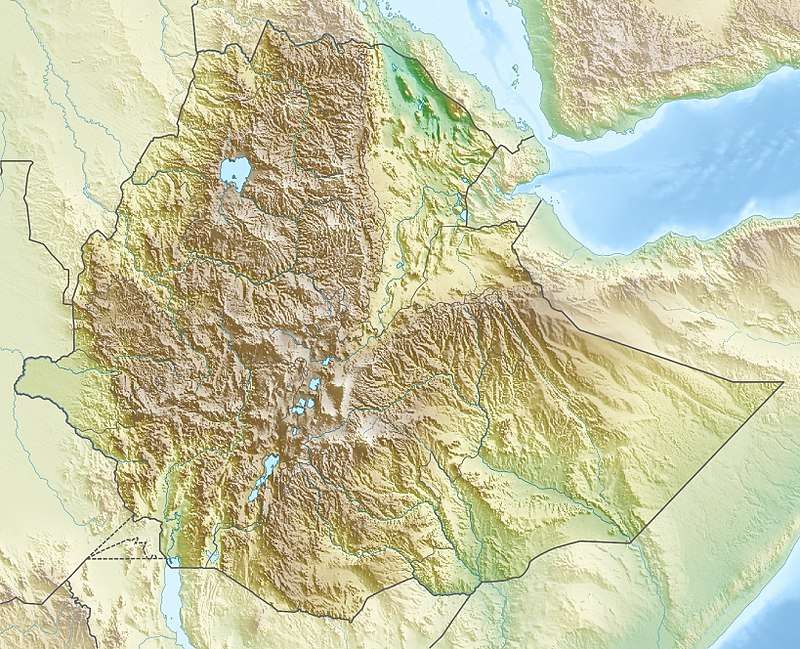 Chilalo Location in Ethiopia | |
| Highest point | |
| Elevation | 4,036 m (13,241 ft) |
| Coordinates | 7°55′N 39°16′E |
| Geography | |
| Location | Arsi Zone, Oromia Region, Ethiopia |
The mountain has an elliptical base (about 30 by 20 kilometers), whose major axis lies NNE-SSW or parallel to the predominant tectonic trend. Chilalo rises with gentle slopes for more than 1500 meters from the top of the plateau. At the summit, there is a large, almost circular caldera about 6 kilometers in diameter, whose southern rim is considered to be the mountain's summit. Mount Chilalo last erupted in the Pleistocene.[1]
One authority identifies Mount Chilalo as a late Trap Series volcano.[2] The geologist Erik Nilsson claimed to have identified traces of glaciation on Chilalo, as well as on its neighbor Mount Kaka down to about 3400 meters, which he dated to the "Last Pluvial Period".[3] Although this mountain is located south of the East African Rift, along with Mount Gugu to the north and Mount Kaka to the south, it is considered, geologically speaking, part of the Ethiopian Highlands.
Notes
- Cilallo Volcano - John Seach, Volcano Live website (accessed 1 November 2009)
- "Local History in Ethiopia" (PDF). The Nordic Africa Institute. p. 3. Retrieved 2019-05-13.
- Erik Nilsson, "Traces of Ancient Changes of Climate in East Africa: Preliminary Report", Geografiska Annaler, 17 (1935), pp. 13f