Mota, Ethiopia
Motta is a town in north west Ethiopia. Located in the Misraq Gojjam Zone of the Amhara Region, and on the secondary road that links Dejen with Bahir Dar overlooking the Abay River, this town has a latitude and longitude of 11°5′N 37°52′E with an elevation of 2,487 meters above sea level.
Mota | |
|---|---|
 Flag | |
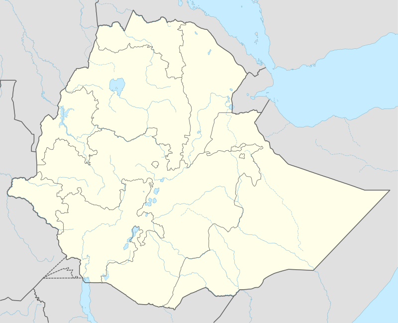 Mota Location in Ethiopia | |
| Coordinates: 11°5′N 37°52′E | |
| Country | Ethiopia |
| Region | Amhara Region |
| Zone | Misraq Gojjam Zone |
| Elevation | 2,487 m (8,159 ft) |
| Population (2005 est.) | |
| • Total | 91,483 |
| Time zone | UTC+3 (EAT) |
One local landmark is Sebara Deldiy or "the Broken Bridge", a stone footbridge built by foreign stoneworkers during the reign of Emperor Fasilides. C.T. Beke was told that the central arch of this bridge was removed at the orders of Ras Fasil as a defensive measure. Despite the damage, Beke reports that it was still used by native merchants, who "by means of ropes stretched across the open space, they manage to pass with their merchandize from the one side to the other, without entering, the stream."[1] Another landmark is the church of Weyzazirt Kidhane Mihret, which was constructed by Woizero Seble Wengel, the daughter of Emperor Fasilides. She and her husband are buried there.[2]
Demographics
Based on figures from the Central Statistical Agency in 2005, this town has an estimated total population of 31,483, of whom 15,619 are men and 15,864 are women.[9] The 1994 census reported this town had a total population of 18,160 of whom 8,218 were men and 9,942 were women. It is the largest of three settlements in Hulet Ej Enese woreda.
Notes
- Charles T. Beke, "Abyssinia: Being a Continuation of Routes in That Country", Journal of the Royal Geographical Society of London, 14 (1844), p. 29
- Philip Briggs, Ethiopia: The Bradt Travel Guide, 3rd edition (Chalfont St Peters: Bradt, 2002), p. 176
- "Bridges to Prosperity: The global leader in rural infrastructure development". Bridges to Prosperity.
- Pankhurst, Richard K. P. (1982). History of Ethiopian Towns. Wiesbaden: Franz Steiner Verlag. p. 275.
- "Local History in Ethiopia" The Nordic Africa Institute website (accessed 9 May 2008)
- Prowess, Piety, and Politics: The Chronicle of Abeto Iyasu and Empress Zewditu of Ethiopia (1909-1930), trans. Reidulf K. Molvaer (Köln: Rüdiger Köppe, 1994)
- Gebru Tareke, Ethiopia: Power and Protest: Peasant Revolts in the Twentieth Century (Lawrenceville: Red Sea, 1996), pages 177-184 passim
- "Woreda constructing 47-km road", Ethiopian News Agency, 5 October 2009 (accessed 2 November 2009)
- CSA 2005 National Statistics, Table B.4