Mont Thabor
Mont Thabor is a mountain of Savoie and Hautes-Alpes, France. It lies in the Massif des Cerces range. It has an elevation of 3,178 metres above sea level, it stands closed to another summit, the Pic du Thabor, culminating at 3,207 metres above sea level.
| Mont Thabor | |
|---|---|
 | |
| Highest point | |
| Elevation | 3,178 m (10,427 ft) |
| Prominence | 97 m (318 ft) |
| Coordinates | 45°06′51″N 06°33′50″E |
| Geography | |
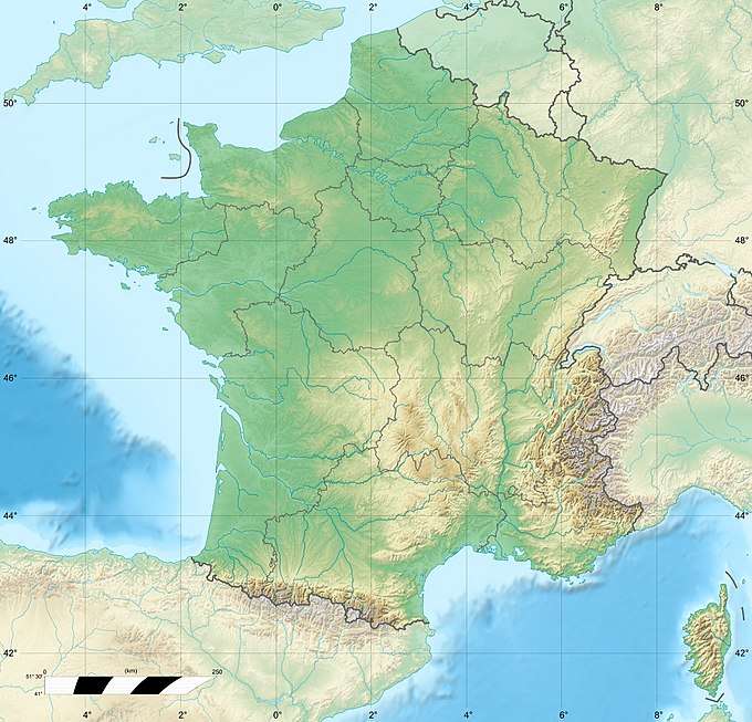 Mont Thabor France | |
| Location | Savoie and Hautes-Alpes, France |
| Parent range | Massif des Cerces |

Pic du Thabor on the left, and the Mont Thabor on the right, from the col de Valmenier.
This article is issued from Wikipedia. The text is licensed under Creative Commons - Attribution - Sharealike. Additional terms may apply for the media files.