Mont Pinçon
Mont Pinçon is the highest point of the department of Calvados, in Normandy, with an elevation of 362 metres (1,188 ft). It is in the west of Norman Switzerland about 30 kilometres (20 mi) to the south-west of Caen, near the village of Plessis-Grimoult.
| Mont Pinçon | |
|---|---|
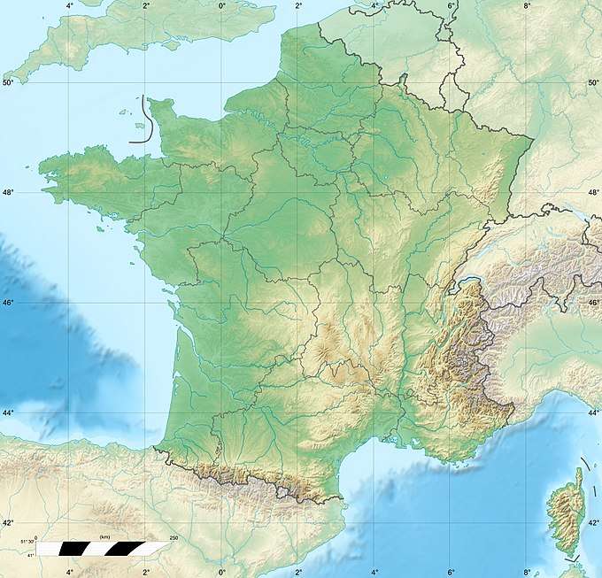 Mont Pinçon Location in France | |
| Highest point | |
| Elevation | 362 m (1,188 ft) |
| Coordinates | 48°58′17″N 00°37′36″W |
| Geography | |
| Location | Calvados, Normandy, France |
| Parent range | Armorican Massif |
It was the site of many strategic battles in the Battle of Normandy with the Allied attack in Operation Bluecoat. In 1956, Radiodiffusion-Télévision Française (RTF, now TDF) installed a transmitter pylon over 200 metres (660 ft) high, which still serves most of the Basse-Normandie region.

TDF installation
This article is issued from Wikipedia. The text is licensed under Creative Commons - Attribution - Sharealike. Additional terms may apply for the media files.