Mjømna (island)
Mjømna is an island in Gulen Municipality in Vestland county, Norway. The island sits off the mainland coast in southwestern Gulen, and it is part of a large archipelago of islands. The main islands that surround Mjømna include Byrknesøyna (to the west), Sandøyna (to the east), and Hiserøyna (to the northeast). The Fensfjorden flows south of the island and the Gulafjorden and Sognesjøen flow along the north of the island.[1]
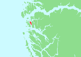 | |
 Mjømna Location of the island  Mjømna Mjømna (Norway) | |
| Geography | |
|---|---|
| Location | Vestland, Norway |
| Coordinates | 60.9158°N 4.9354°E |
| Area | 10.2 km2 (3.9 sq mi) |
| Length | 6.2 km (3.85 mi) |
| Width | 2.5 km (1.55 mi) |
| Highest elevation | 194 m (636 ft) |
| Highest point | Mjømnefjellet |
| Administration | |
Norway | |
| County | Vestland |
| Municipality | Gulen Municipality |
| Demographics | |
| Population | 60 (2001) |
The 10.2-square-kilometre (3.9 sq mi) island is fairly flat and swampy with the highest point being the 194-metre (636 ft) tall Mjømnefjellet on the north end of the island. There were 60 people living on the island in 2001, and the majority of them live on the western side of the island in the village of Mjømna, where Mjømna Church is located.[1]
See also
References
- Askheim, Svein, ed. (2018-02-20). "Mjømna". Store norske leksikon (in Norwegian). Kunnskapsforlaget. Retrieved 2019-12-01.